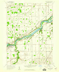
1958 Map of Grand Rapids
USGS Topo · Published 1960About this map
The Maumee River serves as the central artery of this landscape, its course dotted with numerous named landforms like Missionary Island and Fox Island. This 1958 survey captures the interface of Lucas and Wood Counties, highlighting the Twelvemile Reserve Boundary Treaty line that speaks to the area's early territorial history. Rural life is anchored by a network of local roads such as Kellogg Road and Pollock Road, connecting smaller communities like Otsego and Neapolis. Along the riverbanks, the presence of the Providence Substation and Millers Island indicates an era of evolving local industry and infrastructure. Genealogists will find significant value in the mapped cemeteries, including St Patrick Cem and Washington Cem, alongside established local landmarks such as the Providence Ch and the Township Sch.
Find a feature on this map
67 named features on this map. Tap any name to fly to it.
Don’t see what you’re looking for? This feature index may not catch every label — zoom into the map to look around manually.
Map Details
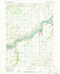
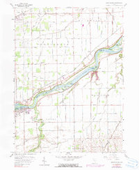
Editions of this 1958 Grand Rapids Map
3 editions found
Other maps of this area

1900 · Toledo
USGS Topo · 1:62,500

1901 · Bowling Green
USGS Topo · 1:62,500

1903 · Bowling Green
USGS Topo · 1:62,500

1909 · Mc Clure
USGS Topo · 1:62,500

1911 · Swanton
USGS Topo · 1:62,500

1914 · Swanton
USGS Topo · 1:62,500

1935 · Grand Rapids
USGS Topo · 1:24,000

1935 · Whitehouse
USGS Topo · 1:24,000

1935 · Maumee
USGS Topo · 1:24,000
1938 · Maumee
USGS Topo · 1:31,680