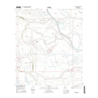
2015 Map of Grand River
USGS Topo · Published 2015About this map
The Atchafalaya Basin Floodway dominates this portion of southern Louisiana, illustrating a complex aqueous environment where the Upper Grand River and Grand River converge. This 2015 survey details the intricate network of waterways that define the border between Iberville Parish and St. Martin Parish. The landscape is characterized by a dense system of bayous and bays, including Pigeon Bay, Spike Bay, and Pat Bay, which reveal the hydrological patterns essential to the region's ecology and history. Navigation and drainage are central themes, traced through features like the E Fork Bayou Pigeon and the W Fork Bayou Pigeon. Remote water bodies such as Frog Lake and Sawyers Cove sit alongside managed corridors like Bayou Sorrel, reflecting the specialized geography of the Mississippi River delta’s floodplain management systems.
Find a feature on this map
26 named features on this map. Tap any name to fly to it.
Don’t see what you’re looking for? This feature index may not catch every label — zoom into the map to look around manually.
Map Details
Editions of this 2015 Grand River Map
This is the sole edition of this map. No revisions or reprints were ever made.
Other maps of this area

1935 · Osca Bayou
USGS Topo · 1:62,500

1935 · Chicot Lake
USGS Topo · 1:62,500

1940 · Grosse Tete
USGS Topo · 1:62,500

1941 · Loreauville
USGS Topo · 1:62,500

1953 · Crescent
USGS Topo · 1:24,000

1953 · Cow Bayou
USGS Topo · 1:24,000

1953 · Pigeon Bay
USGS Topo · 1:24,000

1953 · Addis
USGS Topo · 1:24,000

1953 · Grosse Tete SW
USGS Topo · 1:24,000

1954 · Chicot Lake
USGS Topo · 1:62,500