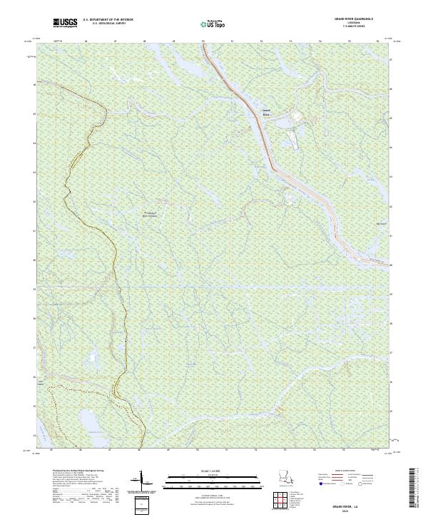
2024 Map of Grand River
USGS Topo · Published 2024About this map
The Atchafalaya Basin Floodway dominates this landscape along the border of St Martin and Iberville parishes. This area is defined by its complex labyrinth of waterways, where the Upper Grand River and Grand River thread through a dense network of bayous and bays. The map reveals the intricate drainage patterns of the basin, featuring major channels like Bayou Sorrel and Bayou Pigeon. Small landforms such as Big Island and Jack Island emerge from the wetlands, marking higher ground in an otherwise fluid environment. This topography reflects the hydrological management of the nation's largest river swamp, where the interplay of the East Fork Bayou Pigeon and West Fork Bayou Pigeon demonstrates the historical and natural shifts of the basin's interior deltas.
Find a feature on this map
36 named features on this map. Tap any name to fly to it.
Don’t see what you’re looking for? This feature index may not catch every label — zoom into the map to look around manually.
Map Details
Editions of this 2024 Grand River Map
This is the sole edition of this map. No revisions or reprints were ever made.
Other maps of this area

1935 · Osca Bayou
USGS Topo · 1:62,500

1935 · Chicot Lake
USGS Topo · 1:62,500

1940 · Grosse Tete
USGS Topo · 1:62,500

1941 · Loreauville
USGS Topo · 1:62,500

1953 · Crescent
USGS Topo · 1:24,000

1953 · Cow Bayou
USGS Topo · 1:24,000

1953 · Pigeon Bay
USGS Topo · 1:24,000

1953 · Addis
USGS Topo · 1:24,000

1953 · Grosse Tete SW
USGS Topo · 1:24,000

1954 · Chicot Lake
USGS Topo · 1:62,500