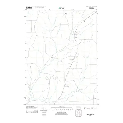
2010 Map of Grand Valley
USGS Topo · Published 2010About this map
Grand Valley and its surrounding countryside represent a late 20th-century landscape where industrial history and rural life converge. The presence of the Colorado Goodwill Hill Grand Valley Oil Field indicates a history of resource extraction that defines much of the local economic heritage. Key community centers like the Goodwill Town Hall serve as focal points for small settlements including Selkirk, Dotyville, and Enterprise. The drainage patterns are defined by the winding paths of Caldwell Creek and Pine Creek, which carve through the terrain near uniquely named features such as Seldom Seen Hollow. For those tracing local families, the map includes Naultby Cemetery, Loomis Cemetery, and Cheney Cemetery, which are essential markers for genealogical research in this part of Warren County.
Find a feature on this map
58 named features on this map. Tap any name to fly to it.
Don’t see what you’re looking for? This feature index may not catch every label — zoom into the map to look around manually.
Map Details
Editions of this 2010 Grand Valley Map
This is the sole edition of this map. No revisions or reprints were ever made.
Other maps of this area

1926 · Youngsville
USGS Topo · 1:62,500

1927 · Tidioute
USGS Topo · 1:48,000

1927 · Titusville
USGS Topo · 1:62,500

1929 · Corry
USGS Topo · 1:48,000

1929 · Youngsville
USGS Topo · 1:62,500

1930 · Tidioute
USGS Topo · 1:62,500

1932 · Corry
USGS Topo · 1:62,500

1933 · Titusville
USGS Topo · 1:62,500

1943 · Youngsville
USGS Topo · 1:62,500

1957 · Warren
USGS Topo · 1:250,000