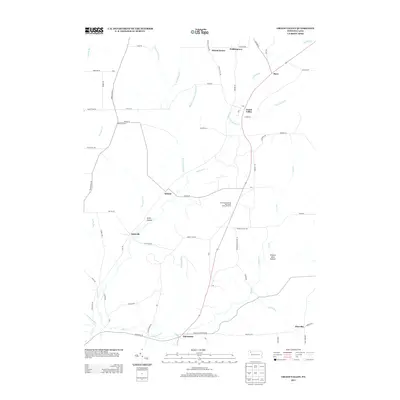
2013 Map of Grand Valley
USGS Topo · Published 2013About this map
Grand Valley and its surrounding uplands are defined by a long history of resource extraction, most notably at the Colorado Goodwill Hill Grand Valley Oil Field. This landscape in northern Pennsylvania is characterized by a network of creek valleys, including Caldwell Cr and its various branches, which have historically influenced the placement of settlements. Local governance and community life are anchored at locations like the Goodwill Town Hall, while the rural character is reinforced by smaller hamlets such as Eldred Center, Fiddlergreen, and Starr.
Find a feature on this map
76 named features on this map. Tap any name to fly to it.
Don’t see what you’re looking for? This feature index may not catch every label — zoom into the map to look around manually.
Map Details
Editions of this 2013 Grand Valley Map
This is the sole edition of this map. No revisions or reprints were ever made.
Other maps of this area

1926 · Youngsville
USGS Topo · 1:62,500

1927 · Tidioute
USGS Topo · 1:48,000

1927 · Titusville
USGS Topo · 1:62,500

1929 · Corry
USGS Topo · 1:48,000

1929 · Youngsville
USGS Topo · 1:62,500

1930 · Tidioute
USGS Topo · 1:62,500

1932 · Corry
USGS Topo · 1:62,500

1933 · Titusville
USGS Topo · 1:62,500

1943 · Youngsville
USGS Topo · 1:62,500

1957 · Warren
USGS Topo · 1:250,000