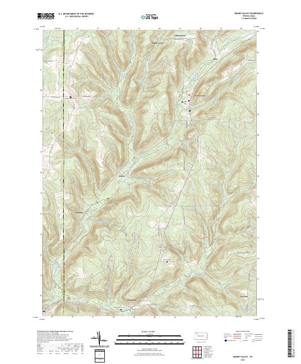
2023 Map of Grand Valley
USGS Topo · Published 2023About this map
Grand Valley and Enterprise anchor this corner of the Pennsylvania oil region, where the terrain is deeply dissected by the Caldwell Creek drainage system. The map reveals a high density of family and community burial grounds, such as Maultby Cem, Loomis Cem, and Cheney Cem, which point to a long-established rural population scattered across hills like Chappel Hill and Emerson Hill. The landscape is defined by the legacy of resource extraction and transit, evidenced by the Old RR Grade winding through the valley near Selkirk. While the primary settlements sit along Rte 27, numerous smaller locales like Dotyville and Starr are connected by a network of winding ridge-top roads. Notable water features like Blue Swamp and West Branch Caldwell Creek suggest a wet, varied environment that shaped the layout of farms and local industries throughout this portion of Warren County.
Find a feature on this map
63 named features on this map. Tap any name to fly to it.
Don’t see what you’re looking for? This feature index may not catch every label — zoom into the map to look around manually.
Map Details
Editions of this 2023 Grand Valley Map
This is the sole edition of this map. No revisions or reprints were ever made.
Other maps of this area

1926 · Youngsville
USGS Topo · 1:62,500

1927 · Tidioute
USGS Topo · 1:48,000

1927 · Titusville
USGS Topo · 1:62,500

1929 · Corry
USGS Topo · 1:48,000

1929 · Youngsville
USGS Topo · 1:62,500

1930 · Tidioute
USGS Topo · 1:62,500

1932 · Corry
USGS Topo · 1:62,500

1933 · Titusville
USGS Topo · 1:62,500

1943 · Youngsville
USGS Topo · 1:62,500

1957 · Warren
USGS Topo · 1:250,000