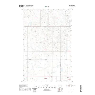
2020 Map of Grand View
USGS Topo · Published 2020About this map
Olson Lake and Carrie Lake anchor this prairie landscape in Burke County, where the topography is defined by numerous small wetlands and glacial depressions typical of the Missouri Coteau. The settlement of Grand View sits at a crossroads in the southern portion of the quadrangle, serving as a focal point for the surrounding agricultural community. Historical foundations of the area are preserved in the locations of Scandia Cem and Old Bethel Cem, which mark the presence of early settlers and their community centers. The map detail reflects the organized grid of section lines and county routes, such as Co Rd 16, which provide the primary framework for movement across this northern plains environment. This 2020 survey documents the enduring rural character of the region, where family legacies are tied to the specific sections of land surveyed over a century ago.
Find a feature on this map
19 named features on this map. Tap any name to fly to it.
Don’t see what you’re looking for? This feature index may not catch every label — zoom into the map to look around manually.
Map Details
Editions of this 2020 Grand View Map
This is the sole edition of this map. No revisions or reprints were ever made.
Other maps of this area

1948 · Beaver Lake
USGS Topo · 1:24,000

1949 · Columbus SW
USGS Topo · 1:24,000

1949 · Columbus SE
USGS Topo · 1:24,000

1950 · Columbus
USGS Topo · 1:62,500

1950 · Portal
USGS Topo · 1:62,500

1953 · Williston
USGS Topo · 1:250,000

1957 · Williston
USGS Topo · 1:250,000

1974 · Grubb Lake
USGS Topo · 1:24,000

1974 · McGregor
USGS Topo · 1:24,000

1974 · Grand View
USGS Topo · 1:24,000