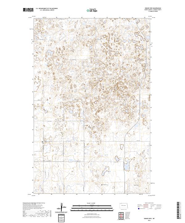
2024 Map of Grand View
USGS Topo · Published 2024About this map
Grand View anchors this portion of Burke County, where the landscape is defined by the high density of prairie potholes and small water bodies characteristic of the Missouri Coteau. The area is a critical habitat for migratory birds, as evidenced by the large Burke County Waterfowl Production Area that spans several sections in the eastern half of the sheet. Notable water features like Red Lake, Olson Lake, and Carrie Lake are scattered among the undulating terrain, separated by a grid of rural roads including 88th St NW and Co Rd 16. For those researching local heritage, the map identifies Scandia Cem and Old Bethel Cem, providing precise locations for these community landmarks. The township and range boundaries, such as t160n r94w, reveal the systematic land division that has governed North Dakota's agricultural development for over a century.
Find a feature on this map
21 named features on this map. Tap any name to fly to it.
Don’t see what you’re looking for? This feature index may not catch every label — zoom into the map to look around manually.
Map Details
Editions of this 2024 Grand View Map
This is the sole edition of this map. No revisions or reprints were ever made.
Other maps of this area

1948 · Beaver Lake
USGS Topo · 1:24,000

1949 · Columbus SW
USGS Topo · 1:24,000

1949 · Columbus SE
USGS Topo · 1:24,000

1950 · Columbus
USGS Topo · 1:62,500

1950 · Portal
USGS Topo · 1:62,500

1953 · Williston
USGS Topo · 1:250,000

1957 · Williston
USGS Topo · 1:250,000

1974 · Grubb Lake
USGS Topo · 1:24,000

1974 · McGregor
USGS Topo · 1:24,000

1974 · Grand View
USGS Topo · 1:24,000