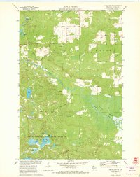
1971 Map of Grand View NW
USGS Topo · Published 1973About this map
The Bibon Marsh dominates the southeastern quadrant of this northern Wisconsin landscape, where the White River meanders through an extensive wetland complex. Settled areas are sparse, focused around the small community of Sutherland and the Pike River settlement to the northwest, near the Pike River Cem. The map captures a transition from agricultural land and Gravel Pits in the north to the dense, lake-studded interior of the Chequamegon National Forest in the south.
Find a feature on this map
38 named features on this map. Tap any name to fly to it.
Don’t see what you’re looking for? This feature index may not catch every label — zoom into the map to look around manually.
Map Details
Editions of this 1971 Grand View NW Map
3 editions found
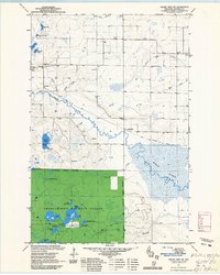
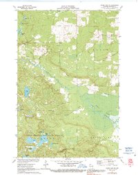
Other maps of this area

1943 · Iron Lake
USGS Topo · 1:48,000

1944 · Moquah
USGS Topo · 1:48,000

1944 · Drummond
USGS Topo · 1:48,000

1944 · Grandview
USGS Topo · 1:48,000

1947 · Drummond
USGS Topo · 1:48,000

1947 · Moquah
USGS Topo · 1:48,000

1947 · Iron Lake
USGS Topo · 1:48,000

1947 · Grandview
USGS Topo · 1:48,000

1953 · Ashland
USGS Topo · 1:250,000

1958 · Ashland
USGS Topo · 1:250,000