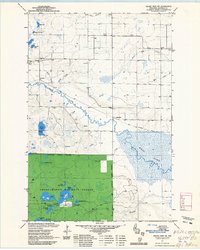
1971 Map of Grand View NW
USGS Topo · Published 1985About this map
White River and the sprawling White Bibon Marsh River dominate this portion of the Chequamegon National Forest in Bayfield County. The landscape is a mosaic of water bodies, including Star Lake, Deep Lake, and Cranberry Lake, many of which feature designated boat access points. Human activity is concentrated along the transport corridors, with the Old Railroad Grade cutting across the eastern wetlands toward the settlement of Sutherland. This 1971 field-checked survey reveals the civic and spiritual foundations of the rural community, including the Bethany Church, the local Townhall, and the Pike River Cemetery. Numerous Gravel Pits suggest active resource extraction during this era, while the Washburn Ranger District managed the surrounding timberlands. The intricate network of creeks, such as Kern Creek and Bolen Creek, highlights the complex drainage patterns feeding into the region's major river systems.
Find a feature on this map
33 named features on this map. Tap any name to fly to it.
Don’t see what you’re looking for? This feature index may not catch every label — zoom into the map to look around manually.
Map Details
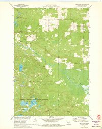
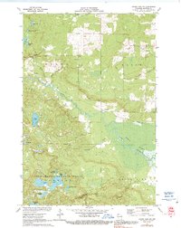
Editions of this 1971 Grand View NW Map
3 editions found
Other maps of this area

1943 · Iron Lake
USGS Topo · 1:48,000

1944 · Moquah
USGS Topo · 1:48,000

1944 · Drummond
USGS Topo · 1:48,000

1944 · Grandview
USGS Topo · 1:48,000

1947 · Drummond
USGS Topo · 1:48,000

1947 · Moquah
USGS Topo · 1:48,000

1947 · Iron Lake
USGS Topo · 1:48,000

1947 · Grandview
USGS Topo · 1:48,000

1953 · Ashland
USGS Topo · 1:250,000

1958 · Ashland
USGS Topo · 1:250,000