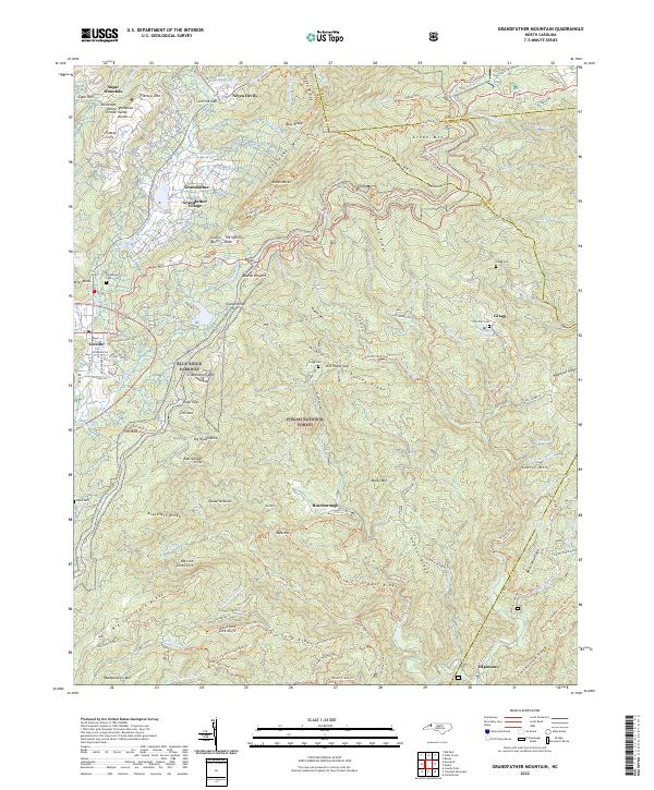
2022 Map of Grandfather Mountain
USGS Topo · Published 2022About this map
The High Country of North Carolina is defined here by the steep elevations of Grandfather Mtn and the deep drainage basins of the Pisgah National Forest. This 2022 survey captures the complex topography where the Tennessee Valley Divide separates waters flowing toward the Gulf from those headed to the Atlantic. Settlement patterns follow the high gaps and river valleys, with Linville and Grandfather Village positioned near the western slopes, while smaller communities like Gragg and Roseborough are found deep in the eastern ridges.
Find a feature on this map
136 named features on this map. Tap any name to fly to it.
Don’t see what you’re looking for? This feature index may not catch every label — zoom into the map to look around manually.
Map Details
Editions of this 2022 Grandfather Mountain Map
This is the sole edition of this map. No revisions or reprints were ever made.
Historical Maps of Edgemont Through Time
13 maps found
1934 Carvers Gap
Avery County, NC

1934 Linville Falls
Avery County, NC

1935 Doe Mountain
Avery County, NC
1955 Carvers Gap
Avery County, NC
1956 Linville Falls
Avery County, NC
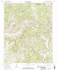
1960 Carvers Gap
Avery County, NC
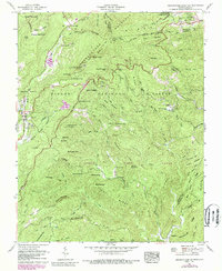
1960 Grandfather Mountain
Avery County, NC
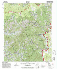
1994 Carvers Gap
Avery County, NC
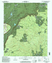
1994 Grandfather Mountain
Avery County, NC
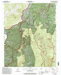
1994 Linville Falls
Avery County, NC
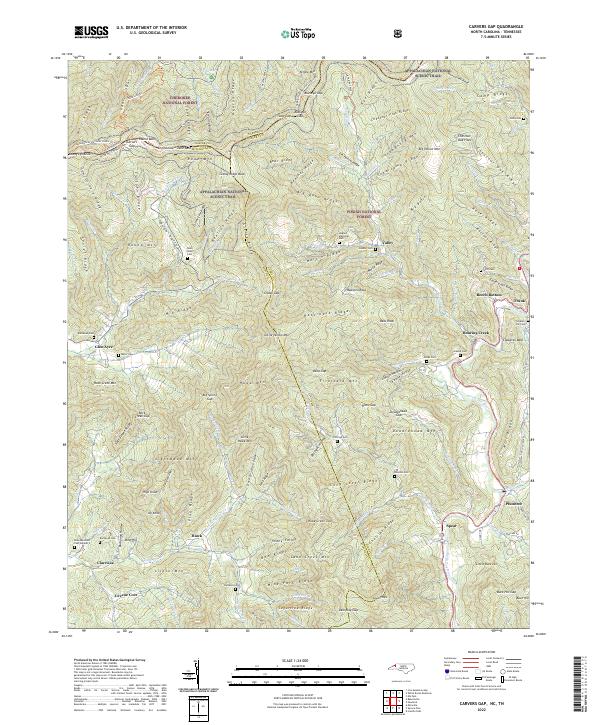
2022 Carvers Gap
Avery County, NC
2022 Grandfather Mountain
Avery County, NC
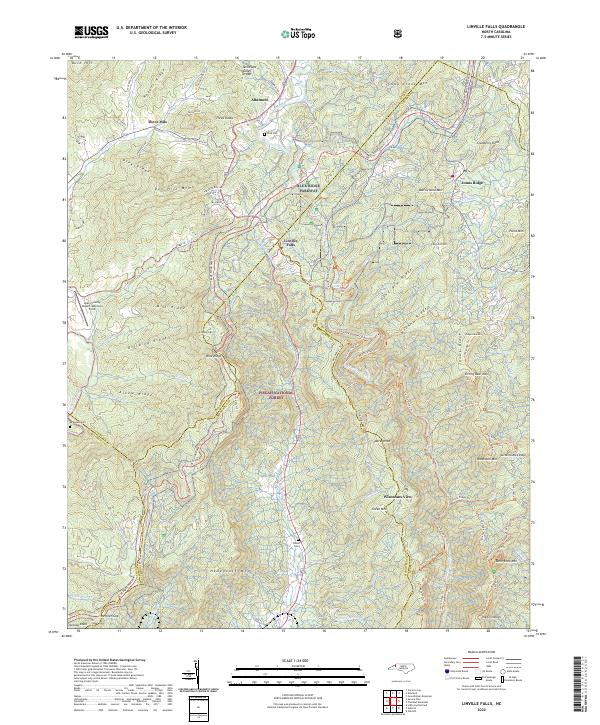
2022 Linville Falls
Avery County, NC