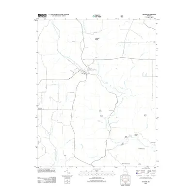
2011 Map of Grandin
USGS Topo · Published 2011About this map
Grandin is the primary settlement on this Carter County landscape, centered near the convergence of numerous named forest roads and the headwaters of the North Prong Little Black River. The terrain is defined by a dense network of hollows and ridges, including Devils Backbone and Gables Ridge, which guide the path of several tributaries like Barton Branch and Mill Creek. The map records several legacy burial sites, such as Roan Cemetery, Good Hope Cemetery, and Shiloh Cemetery, providing clear geographic markers for local family historians. This area near the Missouri-Arkansas border reflects a quiet, rural character where the natural drainage of the South Prong Little Black River and Middle Fork North Prong Little Black River dictates the layout of the transportation network, including routes like Co RD 21-240 and Forest 81 RD. Farther south, the presence of Camp Semoca indicates the recreational use of the region's densely wooded valleys.
Find a feature on this map
42 named features on this map. Tap any name to fly to it.
Don’t see what you’re looking for? This feature index may not catch every label — zoom into the map to look around manually.
Map Details
Editions of this 2011 Grandin Map
This is the sole edition of this map. No revisions or reprints were ever made.
Other maps of this area

1934 · Williamsville
USGS Topo · 1:48,000

1935 · Acorn
USGS Topo · 1:62,500

1939 · Doniphan
USGS Topo · 1:62,500

1940 · Williamsville
USGS Topo · 1:62,500

1940 · Naylor
USGS Topo · 1:62,500

1944 · Naylor
USGS Topo · 1:62,500

1944 · Grandin
USGS Topo · 1:62,500

1945 · Doniphan
USGS Topo · 1:62,500

1946 · Grandin
USGS Topo · 1:62,500

1957 · Poplar Bluff
USGS Topo · 1:250,000