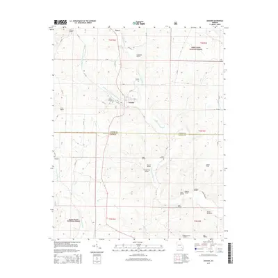
2015 Map of Grandin
USGS Topo · Published 2015About this map
The settlement of Grandin sits at the heart of this landscape, positioned where the drainage of the Middle Fork N Prong Little Black River meets the main branch. The town’s historical footprint is anchored by the Grandin Cemetery and a street grid including Oak St, while the surrounding terrain is heavily defined by the winding boundaries of the Mark Twain National Forest. To the north, the small community of Hunter marks a secondary hub of activity.
Find a feature on this map
61 named features on this map. Tap any name to fly to it.
Don’t see what you’re looking for? This feature index may not catch every label — zoom into the map to look around manually.
Map Details
Editions of this 2015 Grandin Map
This is the sole edition of this map. No revisions or reprints were ever made.
Other maps of this area
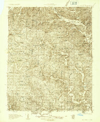
1934 · Williamsville
USGS Topo · 1:48,000
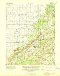
1935 · Acorn
USGS Topo · 1:62,500
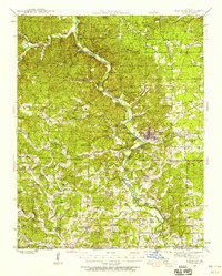
1939 · Doniphan
USGS Topo · 1:62,500
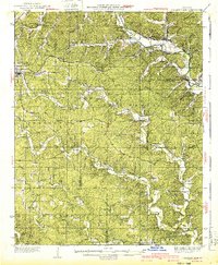
1940 · Williamsville
USGS Topo · 1:62,500
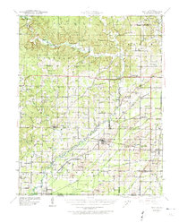
1940 · Naylor
USGS Topo · 1:62,500
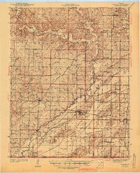
1944 · Naylor
USGS Topo · 1:62,500
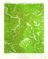
1944 · Grandin
USGS Topo · 1:62,500
1945 · Doniphan
USGS Topo · 1:62,500
1946 · Grandin
USGS Topo · 1:62,500
1957 · Poplar Bluff
USGS Topo · 1:250,000