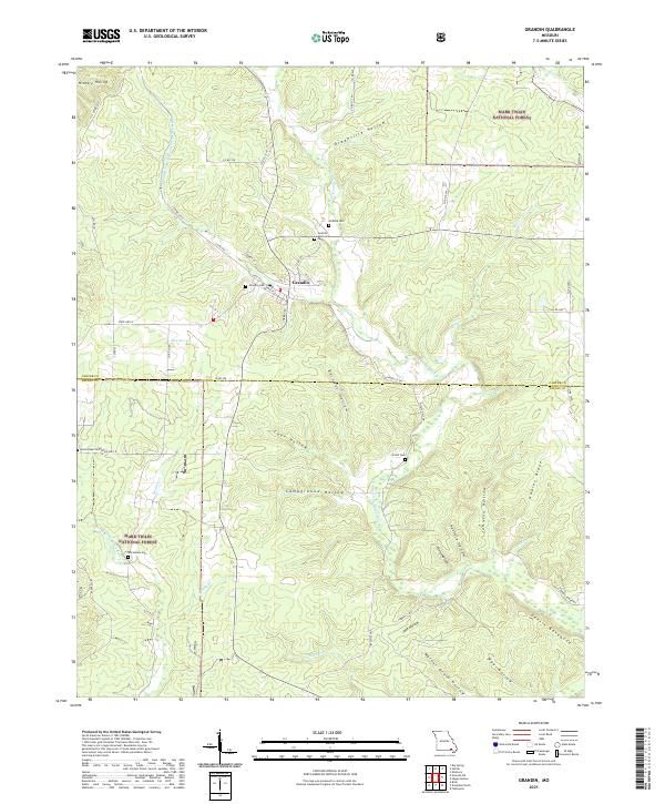
2021 Map of Grandin
USGS Topo · Published 2021About this map
The town of Grandin serves as the focal point of this modern survey of the Ozark foothills, situated where the Mark Twain National Forest meets the borders of Carter and Ripley counties. The landscape is characterized by a dense network of named drainage basins and ridges, including the prominent Devil's Backbone and Gables Ridge. The intricate hydrography of the Little Black River system, featuring the Middle Fork N Prong Little Black River and Spring Br, illustrates the complex terrain that has long dictated movement and settlement in this part of Missouri.
Find a feature on this map
59 named features on this map. Tap any name to fly to it.
Don’t see what you’re looking for? This feature index may not catch every label — zoom into the map to look around manually.
Map Details
Editions of this 2021 Grandin Map
This is the sole edition of this map. No revisions or reprints were ever made.
Other maps of this area

1934 · Williamsville
USGS Topo · 1:48,000

1935 · Acorn
USGS Topo · 1:62,500

1939 · Doniphan
USGS Topo · 1:62,500

1940 · Williamsville
USGS Topo · 1:62,500

1940 · Naylor
USGS Topo · 1:62,500

1944 · Naylor
USGS Topo · 1:62,500

1944 · Grandin
USGS Topo · 1:62,500

1945 · Doniphan
USGS Topo · 1:62,500

1946 · Grandin
USGS Topo · 1:62,500

1957 · Poplar Bluff
USGS Topo · 1:250,000