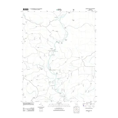
2011 Map of Grandin SW
USGS Topo · Published 2011About this map
The Current River winds through this Ozark landscape, defining a topography of deep hollows and prominent ridges. Near the settlement of Tucker, the river is punctuated by features like Tuckers Mill and Tucker Bay, illustrating the historical reliance on these waterways for local industry and navigation. The uplands are marked by landmarks such as the Panther Lookout Tower on Battleaxe Ridge, which overlooks a series of drainages including Spring Creek and Big Barren Creek.
Find a feature on this map
95 named features on this map. Tap any name to fly to it.
Don’t see what you’re looking for? This feature index may not catch every label — zoom into the map to look around manually.
Map Details
Editions of this 2011 Grandin SW Map
This is the sole edition of this map. No revisions or reprints were ever made.
Other maps of this area

1939 · Doniphan
USGS Topo · 1:62,500

1941 · Gatewood
USGS Topo · 1:62,500

1944 · Van Buren
USGS Topo · 1:62,500

1944 · Grandin
USGS Topo · 1:62,500

1945 · Doniphan
USGS Topo · 1:62,500

1945 · Gatewood
USGS Topo · 1:62,500

1946 · Grandin
USGS Topo · 1:62,500

1946 · Van Buren
USGS Topo · 1:62,500

1957 · Poplar Bluff
USGS Topo · 1:250,000

1959 · Poplar Bluff
USGS Topo · 1:250,000