
2017 Map of Grandin SW
USGS Topo · Published 2017About this map
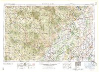
The Current River winds through the heart of the Ozarks in this 2017 survey of the border between Carter and Ripley counties. Protected lands dominate the landscape, with large portions of the Ozark National Scenic Riverway and the Mark Twain National Forest preserving the densely forested terrain and river bluffs. This era of mapping shows a region defined by its narrow valleys and ridges, where many features bear the names of early settler families, such as Kelley Bluff, Bedell Hollow, and Hannars Graveyard.
Find a feature on this map
64 named features on this map. Tap any name to fly to it.
Don’t see what you’re looking for? This feature index may not catch every label — zoom into the map to look around manually.
Map Details
Editions of this 2017 Grandin SW Map
This is the sole edition of this map. No revisions or reprints were ever made.
Other maps of this area
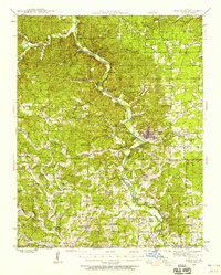
1939 · Doniphan
USGS Topo · 1:62,500
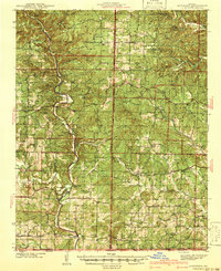
1941 · Gatewood
USGS Topo · 1:62,500
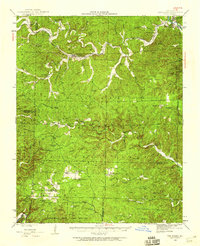
1944 · Van Buren
USGS Topo · 1:62,500
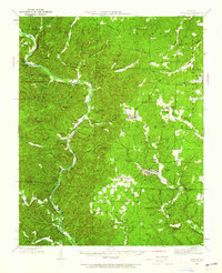
1944 · Grandin
USGS Topo · 1:62,500
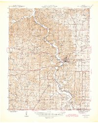
1945 · Doniphan
USGS Topo · 1:62,500
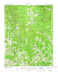
1945 · Gatewood
USGS Topo · 1:62,500
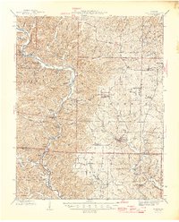
1946 · Grandin
USGS Topo · 1:62,500
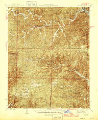
1946 · Van Buren
USGS Topo · 1:62,500

1957 · Poplar Bluff
USGS Topo · 1:250,000
1959 · Poplar Bluff
USGS Topo · 1:250,000