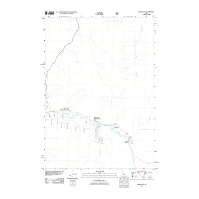
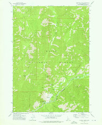
2011 Map of Grandjean
USGS Topo · Published 2011About this map
Grandjean serves as the focal point for this mountain landscape, centered where the South Fork Payette River meets its significant tributaries. The 2011 survey documents a remote pocket of development within the National Forest, highlighted by the Sawtooth Lodge and the geothermal interest of Sacajawea Hot Springs. Settlement patterns are distinctly seasonal and recreation-focused, evidenced by the Camp Creek Summer Home Area and Bear Creek Summer Home Area.
Find a feature on this map
16 named features on this map. Tap any name to fly to it.
Don’t see what you’re looking for? This feature index may not catch every label — zoom into the map to look around manually.
Map Details
Editions of this 2011 Grandjean Map
This is the sole edition of this map. No revisions or reprints were ever made.
Other maps of this area

1891 · Bear Valley
USGS Topo · 1:125,000

1893 · Bear Valley
USGS Topo · 1:125,000

1957 · Challis
USGS Topo · 1:250,000

1960 · Challis
USGS Topo · 1:250,000

1963 · Challis
USGS Topo · 1:250,000

1972 · Bull Trout Point
USGS Topo · 1:24,000
1972 · Banner Summit
USGS Topo · 1:24,000
1972 · Tyee Mountain
USGS Topo · 1:24,000
1972 · Stanley Lake
USGS Topo · 1:24,000
1972 · Eightmile Mtn
USGS Topo · 1:24,000