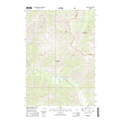
2017 Map of Grandjean
USGS Topo · Published 2017About this map
Sacajawea Hot Springs sits at the heart of this Boise National Forest landscape, where the South Fork Payette River carves through the western edge of the Sawtooth Range. The area around Grandjean is defined by a dense network of forest roads and spurs, including Spur AJ and Wapiti Flat, reflecting a landscape managed for both timber and recreation. Waterways such as Canyon Cr, Wapiti Cr, and Baron Cr feed the river system, creating a complex drainage pattern across the Boise National Forest and Challis National Forest boundary. The map captures the meeting of the Boise and Custer County lines amidst high-elevation terrain, highlighting the transition from the Idaho City-Stanley Highway (SH21) into the backcountry of the Grandjean (SNF Portion).
Find a feature on this map
45 named features on this map. Tap any name to fly to it.
Don’t see what you’re looking for? This feature index may not catch every label — zoom into the map to look around manually.
Map Details
Editions of this 2017 Grandjean Map
This is the sole edition of this map. No revisions or reprints were ever made.
Other maps of this area
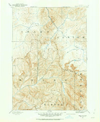
1891 · Bear Valley
USGS Topo · 1:125,000
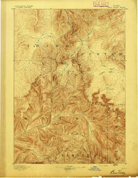
1893 · Bear Valley
USGS Topo · 1:125,000
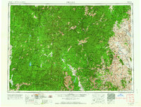
1957 · Challis
USGS Topo · 1:250,000
1960 · Challis
USGS Topo · 1:250,000
1963 · Challis
USGS Topo · 1:250,000
1972 · Bull Trout Point
USGS Topo · 1:24,000
1972 · Banner Summit
USGS Topo · 1:24,000
1972 · Tyee Mountain
USGS Topo · 1:24,000
1972 · Stanley Lake
USGS Topo · 1:24,000
1972 · Eightmile Mtn
USGS Topo · 1:24,000