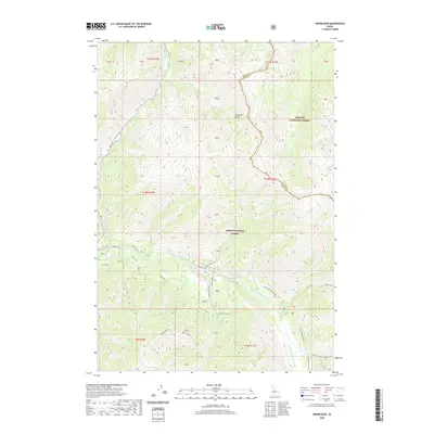
2020 Map of Grandjean
USGS Topo · Published 2020About this map
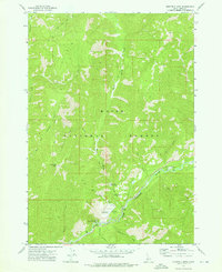
South Fork Payette River flows through this high-altitude landscape where the Boise National Forest meets the Challis National Forest. The settlement of Grand Jean sits near the riverbanks, serving as a gateway to the Sawtooth Range for hikers and travelers. The presence of Sacajawea Hot Springs along the river highlights the geothermal activity characteristic of this Idaho backcountry. The terrain is marked by steep elevation changes and prominent drainage systems including Wapiti Creek and Canyon Cr. Transportation is limited to narrow corridors like Idaho City-Stanley-SH 21 and various forest spurs such as the Wapiti Flat Spur, which provide access to Wapiti Flat and other remote points. This 2020 record documents the modern trail system, including the Trail Creek and Redfish Creek - Baron Creek routes, essential for navigating the mountain passes.
Find a feature on this map
40 named features on this map. Tap any name to fly to it.
Don’t see what you’re looking for? This feature index may not catch every label — zoom into the map to look around manually.
Map Details
Editions of this 2020 Grandjean Map
This is the sole edition of this map. No revisions or reprints were ever made.
Other maps of this area

1891 · Bear Valley
USGS Topo · 1:125,000

1893 · Bear Valley
USGS Topo · 1:125,000

1957 · Challis
USGS Topo · 1:250,000

1960 · Challis
USGS Topo · 1:250,000

1963 · Challis
USGS Topo · 1:250,000

1972 · Bull Trout Point
USGS Topo · 1:24,000
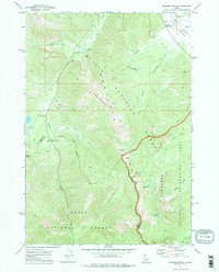
1972 · Banner Summit
USGS Topo · 1:24,000
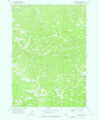
1972 · Tyee Mountain
USGS Topo · 1:24,000
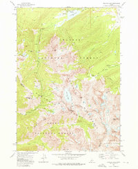
1972 · Stanley Lake
USGS Topo · 1:24,000
1972 · Eightmile Mtn
USGS Topo · 1:24,000