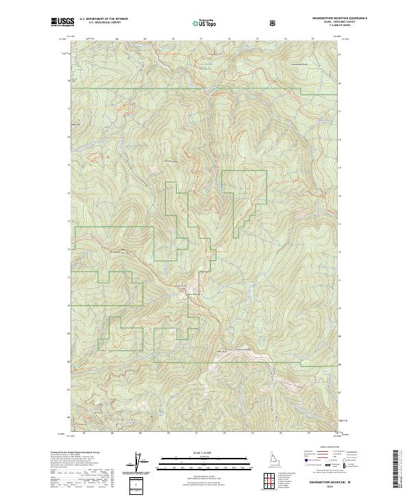
2024 Map of Grandmother Mountain
USGS Topo · Published 2024About this map
St Joe National Forest dominates this Shoshone County landscape, where steep drainages like Marble Creek and Hobo Creek carve through the high country of the Idaho Panhandle. This modern survey illustrates a network of mountain summits including Grandmother Mtn, Grandfather Mtn, and Marks Butte. The map documents an extensive system of forest transit and recreation, featuring the Marble Divide-Grandfather National Recreation Trl and various OHV routes like the Cornwall Point Trl.
Find a feature on this map
48 named features on this map. Tap any name to fly to it.
Don’t see what you’re looking for? This feature index may not catch every label — zoom into the map to look around manually.
Map Details
Editions of this 2024 Grandmother Mountain Map
This is the sole edition of this map. No revisions or reprints were ever made.
Other maps of this area

1914 · Avery
USGS Topo · 1:125,000

1917 · Avery
USGS Topo · 1:125,000

1923 · Washington Creek
USGS Topo · 1:125,000

1936 · Boehls Butte
USGS Topo · 1:48,000

1943 · Boehls Butte
USGS Topo · 1:62,500

1955 · Pullman
USGS Topo · 1:250,000

1955 · Spokane
USGS Topo · 1:250,000

1956 · Wallace
USGS Topo · 1:250,000

1956 · Hamilton
USGS Topo · 1:250,000

1958 · Spokane
USGS Topo · 1:250,000