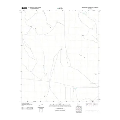
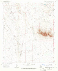
2010 Map of Grandmother Mountain West
USGS Topo · Published 2010About this map
Butterfield Trl cuts across this high desert landscape, marking a historic transportation corridor through Grant County. The terrain is defined by wide drainage patterns like China Draw and Flat Canyon, which converge toward the southeast. Cattle ranching infrastructure is the primary human imprint on the land, evidenced by a network of isolated water sources and windmills. Significant points of interest include Mission Windmill, Turner Windmill, and Grandmother Windmill, which sit near the northern slopes of Grandmother Mountain. The presence of Big Tank and Barksdale Tank further emphasizes the importance of water management in this arid New Mexico region. This survey illustrates the intersection of historic western trails with modern county roads and rural land use during the early 21st century.
Find a feature on this map
16 named features on this map. Tap any name to fly to it.
Don’t see what you’re looking for? This feature index may not catch every label — zoom into the map to look around manually.
Map Details
Editions of this 2010 Grandmother Mountain West Map
This is the sole edition of this map. No revisions or reprints were ever made.
Other maps of this area

1954 · Silver City
USGS Topo · 1:250,000

1958 · Silver City
USGS Topo · 1:250,000

1962 · Silver City
USGS Topo · 1:250,000
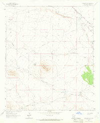
1963 · Antelope Hill
USGS Topo · 1:24,000

1963 · Soldiers Farewell Hill
USGS Topo · 1:24,000
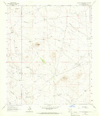
1963 · Cow Springs Mountain
USGS Topo · 1:24,000

1963 · Gage NW
USGS Topo · 1:24,000
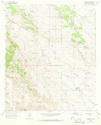
1963 · Werney Hill
USGS Topo · 1:24,000

1963 · Gage
USGS Topo · 1:24,000
1963 · Grandmother Mountain West
USGS Topo · 1:24,000