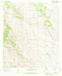
1963 Map of Werney Hill
USGS Topo · Published 1966About this map
Continental Divide crests through this Grant County landscape, dictating the flow of seasonal waters across high desert flats and deep canyons. The 1963 survey documents a remote ranching economy centered around water security, evidenced by the numerous tanks and windmills scattered across the terrain. From the McDonald Ranch to Eubank Corral, these improvements represent the vital infrastructure needed to sustain livestock in an arid environment.
Find a feature on this map
44 named features on this map. Tap any name to fly to it.
Don’t see what you’re looking for? This feature index may not catch every label — zoom into the map to look around manually.
Map Details
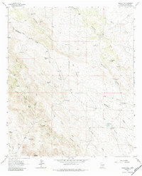
Editions of this 1963 Werney Hill Map
2 editions found
Other maps of this area

1909 · Silver City
USGS Topo · 1:125,000

1949 · Whitewater
USGS Topo · 1:24,000

1950 · White Signal
USGS Topo · 1:24,000

1950 · Burro Peak
USGS Topo · 1:24,000

1951 · White Signal
USGS Topo · 1:24,000

1951 · Big Burro Mountains
USGS Topo · 1:24,000

1954 · Silver City
USGS Topo · 1:250,000

1958 · Silver City
USGS Topo · 1:250,000

1962 · Silver City
USGS Topo · 1:250,000

1962 · Ninetysix Ranch
USGS Topo · 1:24,000