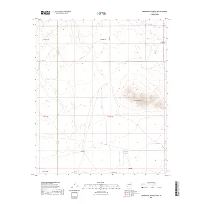
2023 Map of Grandmother Mountain West
USGS Topo · Published 2023About this map
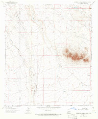
Grandmother Mountain dominates the high desert landscape of the southwest, rising above a network of ephemeral water sources and rugged canyons. The area is defined by its drainage systems, including Walnut Creek in the north and the broad reaches of Flat Canyon to the south. Human activity in this arid environment is evidenced by essential water catchments like Big Tank, Barksdale Tank, and Bentley Tank, which support the region's ranching heritage. The map also delineates the boundary between Grant County and Luna County, showing how political lines bisect the natural terrain of Cow Springs Draw and China Draw. This modern topographic study provides an exact look at the land's relief, from the peak of Grandmother Mountain down to the lowest reaches of Hay Draw.
Find a feature on this map
21 named features on this map. Tap any name to fly to it.
Don’t see what you’re looking for? This feature index may not catch every label — zoom into the map to look around manually.
Map Details
Editions of this 2023 Grandmother Mountain West Map
This is the sole edition of this map. No revisions or reprints were ever made.
Other maps of this area

1954 · Silver City
USGS Topo · 1:250,000

1958 · Silver City
USGS Topo · 1:250,000

1962 · Silver City
USGS Topo · 1:250,000
1963 · Antelope Hill
USGS Topo · 1:24,000

1963 · Soldiers Farewell Hill
USGS Topo · 1:24,000
1963 · Cow Springs Mountain
USGS Topo · 1:24,000

1963 · Gage NW
USGS Topo · 1:24,000
1963 · Werney Hill
USGS Topo · 1:24,000

1963 · Gage
USGS Topo · 1:24,000
1963 · Grandmother Mountain West
USGS Topo · 1:24,000