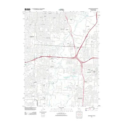
2011 Map of Grandview
USGS Topo · Published 2011About this map
Grandview and the suburban edges of southern Kansas City are documented here during a period of significant infill and development. The landscape is a dense network of residential streets and arterial roads, but it retains numerous historical anchors, particularly several large memorial grounds such as Forest Hill Cemetery and Mount Moriah Cemetery. These sites, alongside older settlement nodes like Hickman Mills and Martin City, provide essential geographic context for family historians.
Find a feature on this map
187 named features on this map. Tap any name to fly to it.
Don’t see what you’re looking for? This feature index may not catch every label — zoom into the map to look around manually.
Map Details
Editions of this 2011 Grandview Map
This is the sole edition of this map. No revisions or reprints were ever made.
Other maps of this area

1887 · Harrisonville
USGS Topo · 1:125,000

1887 · Olathe
USGS Topo · 1:125,000

1890 · Kansas City
USGS Topo · 1:125,000

1892 · Harrisonville
USGS Topo · 1:125,000

1893 · Olathe
USGS Topo · 1:125,000

1894 · Kansas City
USGS Topo · 1:125,000

1894 · Harrisonville
USGS Topo · 1:125,000

1894 · Independence
USGS Topo · 1:125,000

1934 · Independence
USGS Topo · 1:24,000

1934 · Grandview
USGS Topo · 1:24,000