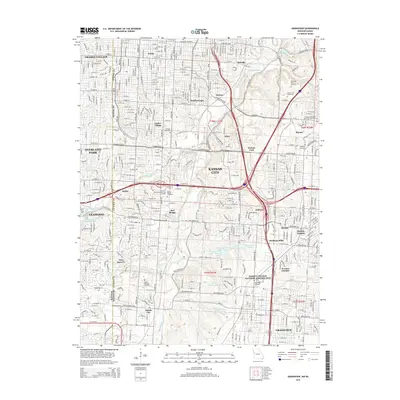
2015 Map of Grandview
USGS Topo · Published 2015About this map
The Blue River and Indian Creek converge in this urban and suburban landscape along the Missouri-Kansas border, carving through a region defined by residential expansion and deep historical roots. The map captures the significant presence of cemeteries such as Forest Hill Cemetery and Mount Moriah Cemetery, which serve as permanent landmarks amidst the dense street grids of neighborhoods like Waldo and Marlborough. Of particular historical significance is the Harry S Truman National Historic Site, preserving the legacy of the 33rd President within the growing sprawl. The settlement pattern shows the evolution of established communities like Hickman Mills and Grandview alongside institutional centers including Avila Univ. This survey provides a precise look at the modern topography of south Kansas City, where drainage systems like Dyke Br and Hart Grove Cr navigate the developed terrain.
Find a feature on this map
134 named features on this map. Tap any name to fly to it.
Don’t see what you’re looking for? This feature index may not catch every label — zoom into the map to look around manually.
Map Details
Editions of this 2015 Grandview Map
This is the sole edition of this map. No revisions or reprints were ever made.
Other maps of this area

1887 · Harrisonville
USGS Topo · 1:125,000

1887 · Olathe
USGS Topo · 1:125,000

1890 · Kansas City
USGS Topo · 1:125,000

1892 · Harrisonville
USGS Topo · 1:125,000

1893 · Olathe
USGS Topo · 1:125,000

1894 · Kansas City
USGS Topo · 1:125,000

1894 · Harrisonville
USGS Topo · 1:125,000

1894 · Independence
USGS Topo · 1:125,000

1934 · Independence
USGS Topo · 1:24,000

1934 · Grandview
USGS Topo · 1:24,000