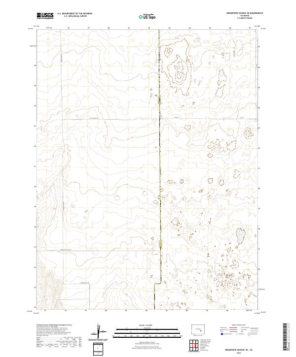
2022 Map of Grandview School SE
USGS Topo · Published 2022About this map
The Pueblo Co Crowley Co border bisects this arid landscape along the path of E Co Line Rd. This section of the Colorado high plains is defined by a rigid grid of rural transport, including the north-south artery of Prairie Hill Rd and the intersecting Boone Hill East Rd. The terrain is generally open, though notable depressions like the Big Sand Hole disrupt the elevation contours in the southeastern portion of the quadrangle. Local agricultural and land management patterns are clearly visible through the Public Land Survey System divisions, which segment the townships of T19S, T20S, and T21S. Smaller corridors such as Roy Wright Rd and Co Rd R provide access to the expansive interior plots between the county line and the prairie ridges.
Find a feature on this map
14 named features on this map. Tap any name to fly to it.
Don’t see what you’re looking for? This feature index may not catch every label — zoom into the map to look around manually.
Map Details
Editions of this 2022 Grandview School SE Map
This is the sole edition of this map. No revisions or reprints were ever made.
Other maps of this area

1891 · Catlin
USGS Topo · 1:125,000

1891 · Nepesta
USGS Topo · 1:125,000

1893 · Nepesta
USGS Topo · 1:125,000

1893 · Catlin
USGS Topo · 1:125,000

1904 · Nepesta
USGS Topo · 1:125,000

1954 · Olney Springs
USGS Topo · 1:24,000

1954 · Lamar
USGS Topo · 1:250,000

1954 · Pueblo
USGS Topo · 1:250,000

1957 · Pueblo
USGS Topo · 1:250,000

1958 · Pueblo
USGS Topo · 1:250,000