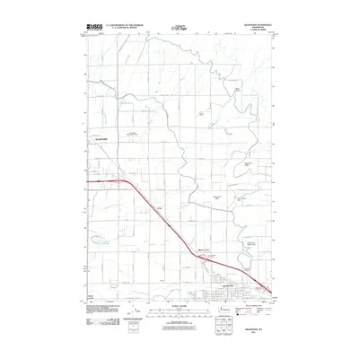
2011 Map of Grandview
USGS Topo · Published 2011About this map
Grandview and the eastern edge of Sunnyside anchor this agricultural corridor of the Yakima Valley as it appeared in the early 21st century. The landscape is defined by an intensive network of irrigation canals, including the West Turbine Lateral and East Turbine Lateral, which transformed the arid Sagebrush Ridge area into a productive farming district. Small agricultural outposts and junctions such as Lichty, Blacks Corner, and Forsell trace the historical development of the rural infrastructure alongside the Interstate highway system.
Find a feature on this map
113 named features on this map. Tap any name to fly to it.
Don’t see what you’re looking for? This feature index may not catch every label — zoom into the map to look around manually.
Map Details
Editions of this 2011 Grandview Map
This is the sole edition of this map. No revisions or reprints were ever made.
Other maps of this area

1910 · Zillah
USGS Topo · 1:125,000

1915 · Prosser
USGS Topo · 1:125,000

1917 · Prosser
USGS Topo · 1:125,000

1950 · Yakima
USGS Topo · 1:250,000

1950 · Grandview
USGS Topo · 1:62,500

1951 · Grandview
USGS Topo · 1:62,500

1953 · Walla Walla
USGS Topo · 1:250,000

1958 · Walla Walla
USGS Topo · 1:250,000

1958 · Yakima
USGS Topo · 1:250,000

1961 · Yakima
USGS Topo · 1:250,000