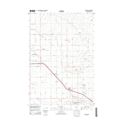
2014 Map of Grandview
USGS Topo · Published 2014About this map
Grandview and the eastern edge of Sunnyside anchor this Yakima County landscape, defined by a highly developed grid of agricultural roads and irrigation infrastructure. The movement of water is central to the area's geography, traced through the W Turbine Lateral, E Turbine Lateral, and Rocky Ford Lateral. These systems support the orchards and vineyards that flank small settlements like Lichty and Blacks Corner.
Find a feature on this map
89 named features on this map. Tap any name to fly to it.
Don’t see what you’re looking for? This feature index may not catch every label — zoom into the map to look around manually.
Map Details
Editions of this 2014 Grandview Map
This is the sole edition of this map. No revisions or reprints were ever made.
Other maps of this area

1910 · Zillah
USGS Topo · 1:125,000

1915 · Prosser
USGS Topo · 1:125,000

1917 · Prosser
USGS Topo · 1:125,000

1950 · Yakima
USGS Topo · 1:250,000

1950 · Grandview
USGS Topo · 1:62,500

1951 · Grandview
USGS Topo · 1:62,500

1953 · Walla Walla
USGS Topo · 1:250,000

1958 · Walla Walla
USGS Topo · 1:250,000

1958 · Yakima
USGS Topo · 1:250,000

1961 · Yakima
USGS Topo · 1:250,000