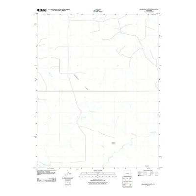
2010 Map of Graneros Flats
USGS Topo · Published 2010About this map
Graneros Flats spans a wide, arid landscape in Pueblo County where the seasonal water of Apache Creek and Mills Arroyo feeds into the winding Huerfano River. This 2010 topographic record documents a terrain defined by its scattered water sources, including Sheep Spring, Lees Spring, and the curiously named RR Spring. The area reflects a sparse ranching or pastoral footprint, punctuated by local landmarks such as the Augustine Windmill in the southeast corner.
Find a feature on this map
11 named features on this map. Tap any name to fly to it.
Don’t see what you’re looking for? This feature index may not catch every label — zoom into the map to look around manually.
Map Details
Editions of this 2010 Graneros Flats Map
This is the sole edition of this map. No revisions or reprints were ever made.
Other maps of this area

1891 · Walsenburg
USGS Topo · 1:125,000

1891 · Pueblo
USGS Topo · 1:125,000

1894 · Walsenburg
USGS Topo · 1:125,000

1894 · Pueblo
USGS Topo · 1:125,000

1896 · Pueblo
USGS Topo · 1:125,000

1897 · Pueblo
USGS Topo · 1:125,000

1897 · Walsenburg
USGS Topo · 1:125,000

1900 · Walsenburg
USGS Topo · 1:125,000

1954 · Trinidad
USGS Topo · 1:250,000

1954 · Pueblo
USGS Topo · 1:250,000