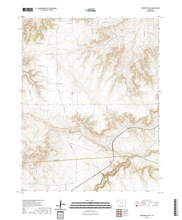
2022 Map of Graneros Flats
USGS Topo · Published 2022About this map
Graneros Flats dominates this High Plains landscape where the arid terrain is defined by seasonal drainages and scattered natural springs. The Huerfano River carves across the southern portion of the sheet, marking the boundary between Pueblo and Huerfano counties. Vital water sources like Sheep Spring, Lees Spring, and Willow Spring are mapped alongside the winding course of Apache Cr, illustrating the historic importance of reliable water in this rural ranching environment.
Find a feature on this map
52 named features on this map. Tap any name to fly to it.
Don’t see what you’re looking for? This feature index may not catch every label — zoom into the map to look around manually.
Map Details
Editions of this 2022 Graneros Flats Map
This is the sole edition of this map. No revisions or reprints were ever made.
Other maps of this area

1891 · Walsenburg
USGS Topo · 1:125,000

1891 · Pueblo
USGS Topo · 1:125,000

1894 · Walsenburg
USGS Topo · 1:125,000

1894 · Pueblo
USGS Topo · 1:125,000

1896 · Pueblo
USGS Topo · 1:125,000

1897 · Pueblo
USGS Topo · 1:125,000

1897 · Walsenburg
USGS Topo · 1:125,000

1900 · Walsenburg
USGS Topo · 1:125,000

1954 · Trinidad
USGS Topo · 1:250,000

1954 · Pueblo
USGS Topo · 1:250,000