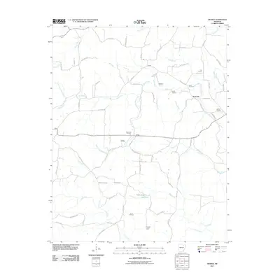
2011 Map of Grange
USGS Topo · Published 2011About this map
Grange and Shelbyville are the primary settlements in this rural Arkansas landscape, situated amidst a dense network of creek branches and family burial grounds. The area is defined by its water system, where Reeds Creek and its many tributaries, including South Prong Reeds Creek and Bold Spring Branch, carve through the terrain. For genealogists, the map is a significant record of local families, documenting eight distinct cemeteries such as Roe Cemetery, Shaver Cemetery, and Rawlings Cemetery scattered near the small crossroads of Aetna. The southern portion of the quadrangle shows the infrastructure of the local timber or forestry era, anchored by the Charlotte Lookout Tower and the Ceder Lake Dam on Cedar Lake. This 2011 survey captures the area's transition into the 21st century while preserving the legacy of the original homesteads and rural community hubs.
Find a feature on this map
72 named features on this map. Tap any name to fly to it.
Don’t see what you’re looking for? This feature index may not catch every label — zoom into the map to look around manually.
Map Details
Editions of this 2011 Grange Map
This is the sole edition of this map. No revisions or reprints were ever made.
Other maps of this area

1890 · Batesville
USGS Topo · 1:125,000

1891 · Batesville
USGS Topo · 1:125,000

1932 · Strawberry
USGS Topo · 1:62,500

1935 · Strawberry
USGS Topo · 1:62,500

1941 · Strawberry
USGS Topo · 1:62,500

1943 · Cave City
USGS Topo · 1:31,680

1943 · Sulphur Rock
USGS Topo · 1:31,680

1953 · Memphis
USGS Topo · 1:250,000

1954 · Charlotte
USGS Topo · 1:24,000

1955 · Strawberry
USGS Topo · 1:24,000