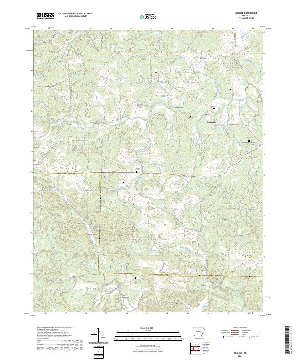
2024 Map of Grange
USGS Topo · Published 2024About this map
Shelbyville serves as the central settlement in this landscape of the Arkansas Ozark foothills, positioned near the crossing of Shaver Rd and Reeds Creek Trl. The area is defined by an intricate network of watercourses, including the North Prong Reeds Creek and South Prong Reeds Creek, which carve through the terrain before meeting the Devils Fork of Curia Creek. For genealogists, the map is particularly dense with family-named burial sites, such as Roe Cem, Parsley Cem, and Wilkerson Cem, reflecting generations of local landholdings. The southern portion of the map traces the boundary between Sharp Co and Independence Co, showing how the rural road network, including Grange Rd and Co Rd 101, connects these isolated homesteads and cemeteries across the ridgelines and valleys.
Find a feature on this map
72 named features on this map. Tap any name to fly to it.
Don’t see what you’re looking for? This feature index may not catch every label — zoom into the map to look around manually.
Map Details
Editions of this 2024 Grange Map
This is the sole edition of this map. No revisions or reprints were ever made.
Other maps of this area

1890 · Batesville
USGS Topo · 1:125,000

1891 · Batesville
USGS Topo · 1:125,000

1932 · Strawberry
USGS Topo · 1:62,500

1935 · Strawberry
USGS Topo · 1:62,500

1941 · Strawberry
USGS Topo · 1:62,500

1943 · Cave City
USGS Topo · 1:31,680

1943 · Sulphur Rock
USGS Topo · 1:31,680

1953 · Memphis
USGS Topo · 1:250,000

1954 · Charlotte
USGS Topo · 1:24,000

1955 · Strawberry
USGS Topo · 1:24,000