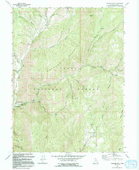
1994 Map of Granger Mtn
USGS Topo · Published 1994About this map
Uinta National Forest lands dominate this mid-1990s terrain, centered on the high elevations of Granger Mountain and the deep drainages of Hobble Creek. The map documents a landscape primarily utilized for recreation and resource management, featuring established sites such as Balsam Campground and Cherry Campground. In the southwest corner, localized developments at the Jolleys Ranch Recreation Area and Kellys Grove Recreation Area mark the interface between the wilderness and more accessible mountain parks.
Find a feature on this map
39 named features on this map. Tap any name to fly to it.
Don’t see what you’re looking for? This feature index may not catch every label — zoom into the map to look around manually.
Map Details
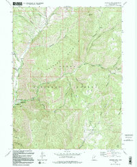
Editions of this 1994 Granger Mtn Map
2 editions found
Other maps of this area

1885 · Salt Lake
USGS Topo · 1:250,000

1907 · Strawberry Valley
USGS Topo · 1:125,000

1909 · Strawberry Valley
USGS Topo · 1:125,000

1948 · Orem
USGS Topo · 1:62,500

1948 · Springville
USGS Topo · 1:24,000

1948 · Bridal Veil Falls
USGS Topo · 1:24,000

1949 · Provo
USGS Topo · 1:62,500

1949 · Spanish Fork Peak
USGS Topo · 1:24,000
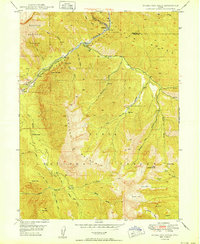
1950 · Bridal Veil Falls
USGS Topo · 1:24,000
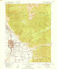
1950 · Springville
USGS Topo · 1:24,000