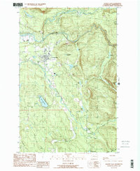
1989 Map of Granite Falls
USGS Topo · Published 1989About this map
Granite Falls serves as the focal point of this late 1980s landscape, situated where the South Fork Stillaguamish River meets the rugged slopes of Iron Mountain. The area is defined by its complex hydrology, with the Pilchuck River and Canyon Creek carving through the terrain, supporting several upland bodies of water like Bosworth Lake and Lake Roesiger. The map reveals an economy tied to the land, evidenced by several Gravel Pit operations and a Quarry located near the riverbanks.
Find a feature on this map
33 named features on this map. Tap any name to fly to it.
Don’t see what you’re looking for? This feature index may not catch every label — zoom into the map to look around manually.
Map Details
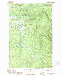
Editions of this 1989 Granite Falls Map
2 editions found
Other maps of this area

1895 · Snohomish
USGS Topo · 1:125,000

1897 · Seattle
USGS Topo · 1:125,000

1899 · Stillaguamish
USGS Topo · 1:125,000

1901 · Stilaguamish
USGS Topo · 1:125,000

1911 · Mount Vernon
USGS Topo · 1:125,000

1921 · Sultan
USGS Topo · 1:125,000

1923 · Sultan
USGS Topo · 1:125,000

1941 · Marysville
USGS Topo · 1:62,500

1943 · Marysville
USGS Topo · 1:62,500

1944 · Everett
USGS Topo · 1:62,500