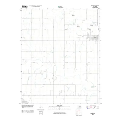
2010 Map of Granite
USGS Topo · Published 2010About this map
Granite anchors the eastern edge of this landscape, its grid system pressed against the rising slopes of Headquarters Mountain. The terrain is defined by a series of distinct peaks including Walsh Mountain and Brown Mountain, which interrupt the surrounding prairie. Significant local landmarks such as Camp Kate Portwood and the Rock Cemetery provide vital points of reference for genealogists and local historians tracking the early 21st-century footprint of Greer County.
Find a feature on this map
29 named features on this map. Tap any name to fly to it.
Don’t see what you’re looking for? This feature index may not catch every label — zoom into the map to look around manually.
Map Details
Editions of this 2010 Granite Map
This is the sole edition of this map. No revisions or reprints were ever made.
Other maps of this area

1955 · Lawton
USGS Topo · 1:250,000

1955 · Clinton
USGS Topo · 1:250,000

1957 · Clinton
USGS Topo · 1:250,000

1961 · Willow
USGS Topo · 1:62,500

1961 · Retrop
USGS Topo · 1:62,500

1971 · Blair
USGS Topo · 1:24,000

1971 · Mangum North
USGS Topo · 1:24,000

1971 · Granite
USGS Topo · 1:24,000

1971 · Mangum South
USGS Topo · 1:24,000

1971 · Hester
USGS Topo · 1:24,000