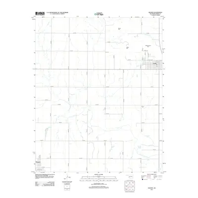
2012 Map of Granite
USGS Topo · Published 2012About this map
Headquarters Mtn and Walsh Mtn rise above the town of Granite, characterizing the distinct granite-outcrop topography of this Greer County landscape. The settlement at Granite is organized on a grid of streets including W Mountain Ave and Normal Ave, positioned just south of the high peaks and east of Armstrong Cr. Further southwest, a portion of Mangum appears at the edge of the survey, defined by its own grid including E Cleveland St and E Tyler St.
Find a feature on this map
42 named features on this map. Tap any name to fly to it.
Don’t see what you’re looking for? This feature index may not catch every label — zoom into the map to look around manually.
Map Details
Editions of this 2012 Granite Map
This is the sole edition of this map. No revisions or reprints were ever made.
Other maps of this area

1955 · Lawton
USGS Topo · 1:250,000

1955 · Clinton
USGS Topo · 1:250,000

1957 · Clinton
USGS Topo · 1:250,000

1961 · Willow
USGS Topo · 1:62,500

1961 · Retrop
USGS Topo · 1:62,500

1971 · Blair
USGS Topo · 1:24,000

1971 · Mangum North
USGS Topo · 1:24,000

1971 · Granite
USGS Topo · 1:24,000

1971 · Mangum South
USGS Topo · 1:24,000

1971 · Hester
USGS Topo · 1:24,000