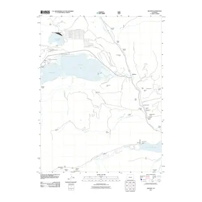
2011 Map of Granite
USGS Topo · Published 2011About this map
Granite and the nearby Arkansas River corridor serve as a focal point for this 2011 topographic record of Colorado's high country. The landscape is heavily marked by its mineral history, with numerous mining operations such as the Pennsylvania Placer, Smith-Bullard Mine, and the U S Dredge Mine scattered across the gulches. Water management infrastructure is prominently featured, including the Mount Elbert Forebay Dam and Twin Lakes Dam, which regulate the flow through the basin toward the Clear Creek Reservoir.
Find a feature on this map
80 named features on this map. Tap any name to fly to it.
Don’t see what you’re looking for? This feature index may not catch every label — zoom into the map to look around manually.
Map Details
Editions of this 2011 Granite Map
This is the sole edition of this map. No revisions or reprints were ever made.
Other maps of this area

1889 · Leadville
USGS Topo · 1:125,000

1891 · Leadville
USGS Topo · 1:125,000

1935 · Mount Elbert
USGS Topo · 1:62,500

1938 · Mount Elbert
USGS Topo · 1:62,500

1939 · Mount Elbert
USGS Topo · 1:62,500

1942 · Leadville
USGS Topo · 1:125,000

1955 · Buena Vista
USGS Topo · 1:62,500

1955 · Mount Harvard
USGS Topo · 1:62,500

1956 · Montrose
USGS Topo · 1:250,000

1957 · Leadville
USGS Topo · 1:250,000