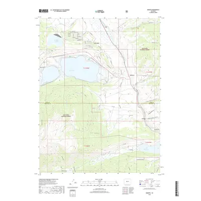
2019 Map of Granite
USGS Topo · Published 2019About this map
Granite stands as a focal point in this high-altitude landscape along the Arkansas River, situated near the boundary of Lake and Chaffee counties. This 2019 survey captures the complex water management systems of the region, featuring the Mount Elbert Forebay, the expansive Twin Lakes, and the Clear Creek Reservoir to the south. The terrain is deeply incised by numerous gulches, such as Sawmill Gulch, Low Pass Gulch, and Lost Canyon, reflecting the drainage patterns into the river valley. Settlement is concentrated along the river corridor and the shores of the lakes, with Balltown and Kobe serving as identifiable locales. The presence of the Granite Cem and the vast San Isabel National Forest lands highlights the area's mix of local history and protected wilderness, while named routes like Mt Massive Rd and La Plata Peak Dr provide access to the surrounding peaks.
Find a feature on this map
75 named features on this map. Tap any name to fly to it.
Don’t see what you’re looking for? This feature index may not catch every label — zoom into the map to look around manually.
Map Details
Editions of this 2019 Granite Map
This is the sole edition of this map. No revisions or reprints were ever made.
Other maps of this area
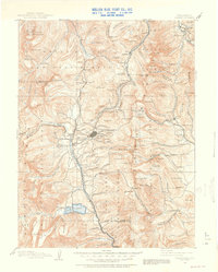
1889 · Leadville
USGS Topo · 1:125,000
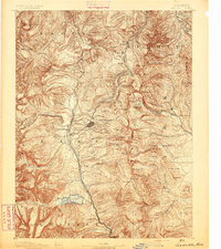
1891 · Leadville
USGS Topo · 1:125,000
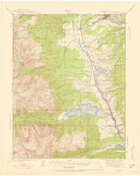
1935 · Mount Elbert
USGS Topo · 1:62,500
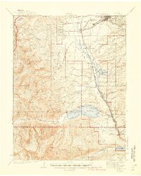
1938 · Mount Elbert
USGS Topo · 1:62,500
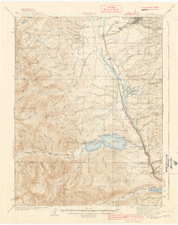
1939 · Mount Elbert
USGS Topo · 1:62,500
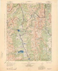
1942 · Leadville
USGS Topo · 1:125,000
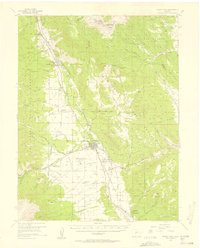
1955 · Buena Vista
USGS Topo · 1:62,500
1955 · Mount Harvard
USGS Topo · 1:62,500
1956 · Montrose
USGS Topo · 1:250,000
1957 · Leadville
USGS Topo · 1:250,000