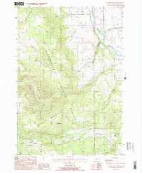
1988 Map of Granite Mountain
USGS Topo · Published 1988About this map
Granite Mountain dominates this portion of the Beaverhead National Forest, rising above a complex drainage system that feeds the Madison River to the east. The landscape is defined by its transition from high summits to the river valley, managed in part by the Wall Creek Wildlife Management Area. Numerous watercourses, including English George Creek and Wolverine Creek, carve through the terrain, suggesting a wilderness shaped by seasonal runoff and riparian corridors.
Find a feature on this map
20 named features on this map. Tap any name to fly to it.
Don’t see what you’re looking for? This feature index may not catch every label — zoom into the map to look around manually.
Map Details
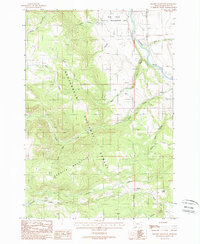
Editions of this 1988 Granite Mountain Map
2 editions found
Other maps of this area

1888 · Three Forks
USGS Topo · 1:250,000

1894 · Three Forks
USGS Topo · 1:250,000

1895 · Three Forks
USGS Topo · 1:250,000

1947 · Bozeman
USGS Topo · 1:250,000

1948 · Bozeman
USGS Topo · 1:250,000

1949 · Varney
USGS Topo · 1:62,500

1950 · Cliff Lake
USGS Topo · 1:62,500

1950 · Cameron
USGS Topo · 1:62,500

1950 · Monument Ridge
USGS Topo · 1:62,500

1955 · Bozeman
USGS Topo · 1:250,000