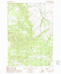
1988 Map of Granite Mountain
USGS Topo · Published 1988About this map
Granite Mountain dominates this portion of the Beaverhead National Forest, where the high-altitude terrain gives way to the drainage of the Madison River. The landscape is defined by its water system and conservation use, including the Wall Creek Wildlife Management Area and the Principal Meridian boundary line. For those interested in early land use and resource extraction, the map records Prospects on the western slopes and family or descriptive landmarks like Gold Butte. This era of the late 1980s shows a wilderness accessed primarily by primitive routes, including several named Pack Trails and the Standard Road, illustrating the intersection of forestry management and natural resource exploration in the Madison Range.
Find a feature on this map
23 named features on this map. Tap any name to fly to it.
Don’t see what you’re looking for? This feature index may not catch every label — zoom into the map to look around manually.
Map Details
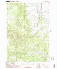
Editions of this 1988 Granite Mountain Map
2 editions found
Other maps of this area

1888 · Three Forks
USGS Topo · 1:250,000

1894 · Three Forks
USGS Topo · 1:250,000

1895 · Three Forks
USGS Topo · 1:250,000

1947 · Bozeman
USGS Topo · 1:250,000

1948 · Bozeman
USGS Topo · 1:250,000

1949 · Varney
USGS Topo · 1:62,500

1950 · Cliff Lake
USGS Topo · 1:62,500

1950 · Cameron
USGS Topo · 1:62,500

1950 · Monument Ridge
USGS Topo · 1:62,500

1955 · Bozeman
USGS Topo · 1:250,000