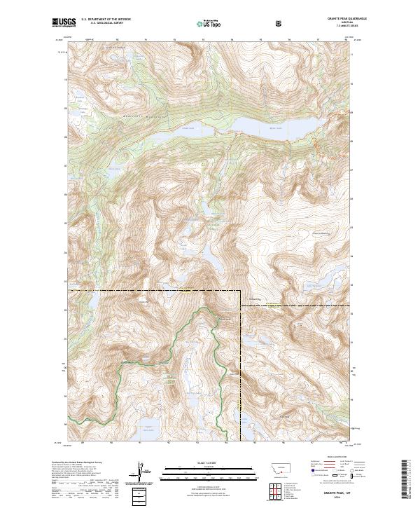
2024 Map of Granite Peak
USGS Topo · Published 2024About this map
Granite Peak, the highest point in Montana, dominates this high-elevation landscape within the Absaroka-Beartooth Wilderness. The survey reveals a complex glacial environment where the Granite Glacier and Sky Top Glacier persist among sharp summits like Mt Villard and the aptly named Froze-to-Death Mtn. This area serves as a critical hydrologic divide, with waters draining through the West Rosebud Creek toward Mystic Lake and southward via Sky Top Creek.
Find a feature on this map
54 named features on this map. Tap any name to fly to it.
Don’t see what you’re looking for? This feature index may not catch every label — zoom into the map to look around manually.
Map Details
Editions of this 2024 Granite Peak Map
This is the sole edition of this map. No revisions or reprints were ever made.
Other maps of this area

1898 · Granite Mountain District
USGS Topo · 1:125,000

1932 · Nye No 1
USGS Topo · 1:48,000

1932 · Nye No 2
USGS Topo · 1:48,000

1939 · Mt Wood
USGS Topo · 1:62,500

1941 · Mt. Wood
USGS Topo · 1:62,500

1954 · Billings
USGS Topo · 1:250,000
1956 · Emerald Lake
USGS Topo · 1:24,000

1956 · Alpine
USGS Topo · 1:62,500

1956 · Cooke City
USGS Topo · 1:62,500

1957 · Billings
USGS Topo · 1:250,000