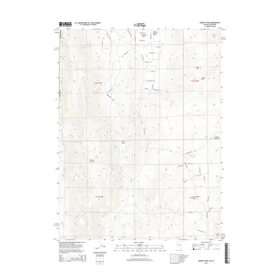
2014 Map of Granite Peak
USGS Topo · Published 2014About this map
Petersen Mountain and the Granite Peak range dominate this 2014 survey of the Washoe County landscape. The terrain is defined by dramatic elevation changes between high peaks and sheltered basins like Middle Red Rock Valley and Little Valley. This area serves as a critical watershed, evidenced by a dense network of water sources including August Spring, Chokecherry Spring, and Bird Spring Juniper Spring. The road network reflects a structured rural development pattern, with numerous named residential circles and ways like Quarterhorse Cir, Cowhide Cir, and Horseshoe Cir branching off Red Rock Rd, suggesting a community tied closely to equestrian or ranch-style living within the basin.
Find a feature on this map
56 named features on this map. Tap any name to fly to it.
Don’t see what you’re looking for? This feature index may not catch every label — zoom into the map to look around manually.
Map Details
Editions of this 2014 Granite Peak Map
This is the sole edition of this map. No revisions or reprints were ever made.
Other maps of this area

1890 · Sierraville
USGS Topo · 1:125,000

1891 · Reno
USGS Topo · 1:125,000

1892 · Sierraville
USGS Topo · 1:125,000

1893 · Reno
USGS Topo · 1:125,000

1894 · Sierraville
USGS Topo · 1:125,000

1950 · Chilcoot
USGS Topo · 1:62,500

1950 · Reno
USGS Topo · 1:62,500

1951 · Reno
USGS Topo · 1:62,500

1955 · Loyalton
USGS Topo · 1:62,500

1957 · Dogskin Mountain
USGS Topo · 1:62,500