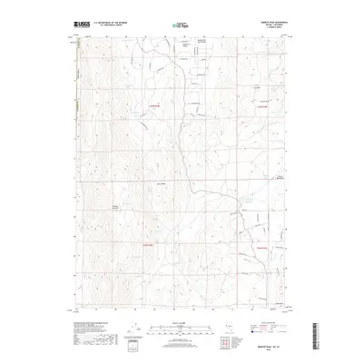
2018 Map of Granite Peak
USGS Topo · Published 2018About this map
Granite Peak and the surrounding high desert of Washoe County define this 2018 survey on the Nevada-California border. The landscape is characterized by a high concentration of water sources tucked into the creases of Petersen Mountain and the French Mountains, including Chokecherry Spring, Tunnel Spring, and Horse Spring. These perennial points likely served as vital landmarks for early ranchers and travelers in this arid environment.
Find a feature on this map
56 named features on this map. Tap any name to fly to it.
Don’t see what you’re looking for? This feature index may not catch every label — zoom into the map to look around manually.
Map Details
Editions of this 2018 Granite Peak Map
This is the sole edition of this map. No revisions or reprints were ever made.
Other maps of this area

1890 · Sierraville
USGS Topo · 1:125,000

1891 · Reno
USGS Topo · 1:125,000

1892 · Sierraville
USGS Topo · 1:125,000

1893 · Reno
USGS Topo · 1:125,000

1894 · Sierraville
USGS Topo · 1:125,000

1950 · Chilcoot
USGS Topo · 1:62,500

1950 · Reno
USGS Topo · 1:62,500

1951 · Reno
USGS Topo · 1:62,500

1955 · Loyalton
USGS Topo · 1:62,500

1957 · Dogskin Mountain
USGS Topo · 1:62,500