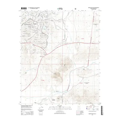
2014 Map of Granite Reef Dam
USGS Topo · Published 2014About this map
The confluence of the Verde River and the Salt River anchors this 2014 survey, highlighting the complex water management systems of the Salt River Valley. The Granite Reef Dam serves as a critical diversion point, feeding the Arizona Canal and Southern Canal to support the surrounding desert communities. Further north, the Central Arizona Project Aqueduct cuts across the landscape, illustrating the modern engineering required to sustain regional growth.
Find a feature on this map
127 named features on this map. Tap any name to fly to it.
Don’t see what you’re looking for? This feature index may not catch every label — zoom into the map to look around manually.
Map Details
Editions of this 2014 Granite Reef Dam Map
This is the sole edition of this map. No revisions or reprints were ever made.
Other maps of this area

1904 · Camelback
USGS Topo · 1:62,500

1904 · Desert Well
USGS Topo · 1:62,500

1904 · Ft. McDowell
USGS Topo · 1:62,500

1906 · Camelsback
USGS Topo · 1:62,500

1906 · Ft. McDowell
USGS Topo · 1:62,500

1906 · Desert Well
USGS Topo · 1:62,500

1913 · Mesa
USGS Topo · 1:62,500

1915 · Mesa
USGS Topo · 1:62,500

1930 · Cave Creek
USGS Topo · 1:125,000

1939 · Cave Creek
USGS Topo · 1:125,000