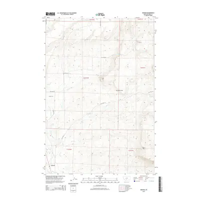
2014 Map of Grannis
USGS Topo · Published 2014About this map
Grannis and the surrounding ranchlands of Park County are defined by a sophisticated network of irrigation infrastructure and seasonal watercourses. The lower Shields Valley relies on the Lower Shields Valley Ditch and the Palmer Ditch, which redirect water from the Shields River to support agriculture across this high-elevation terrain. The landscape is structured by significant geological landmarks, including Cedar Butte and the prominent spine of Rattlesnake Ridge to the east. Several named drainages, such as Bullrun Cr, Adair Cr, and Fiddle Cr, carve through the townships, while localized water sources like 01N10E35B Spring indicate the critical importance of water rights in this rural Montana setting. The map captures a moment of modern land management within the historic township and range system, showing how cattle ranching and homesteading legacies continue to shape the physical layout of the valley.
Find a feature on this map
27 named features on this map. Tap any name to fly to it.
Don’t see what you’re looking for? This feature index may not catch every label — zoom into the map to look around manually.
Map Details
Editions of this 2014 Grannis Map
This is the sole edition of this map. No revisions or reprints were ever made.
Other maps of this area

1891 · Livingston
USGS Topo · 1:250,000

1893 · Livingston
USGS Topo · 1:250,000

1947 · Bozeman
USGS Topo · 1:250,000

1948 · Bozeman
USGS Topo · 1:250,000

1951 · Ibex Mountain
USGS Topo · 1:24,000

1951 · Clyde Park
USGS Topo · 1:24,000

1951 · Chadborn
USGS Topo · 1:24,000

1951 · Grannis
USGS Topo · 1:24,000

1951 · Hunters Hot Springs
USGS Topo · 1:24,000

1951 · Elton
USGS Topo · 1:24,000