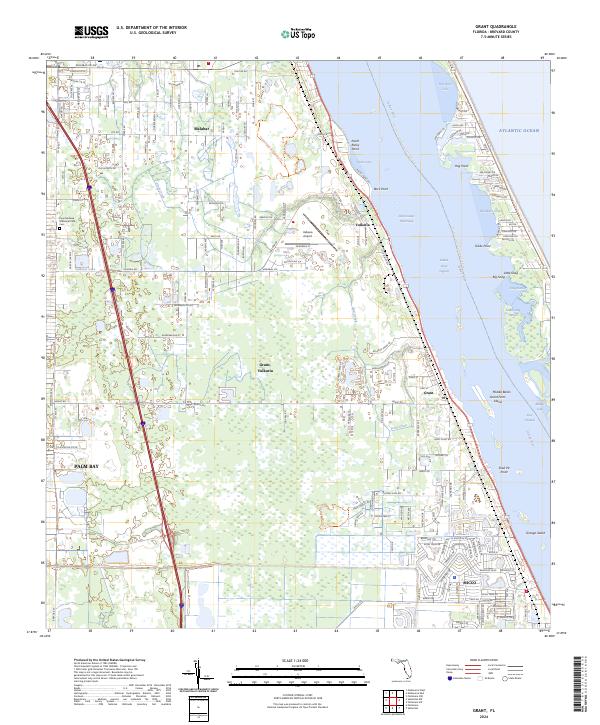
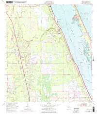
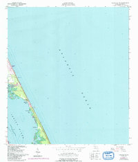
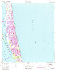
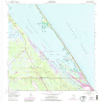
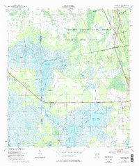
2024 Map of Grant
USGS Topo · Published 2024About this map
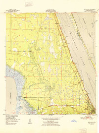
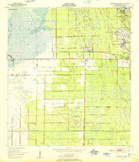
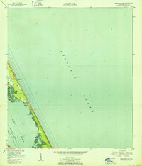
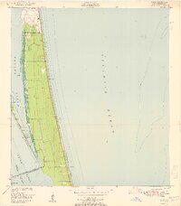
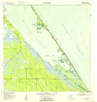
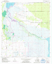
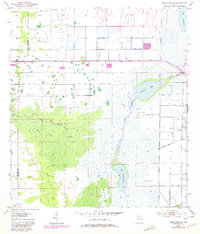
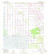
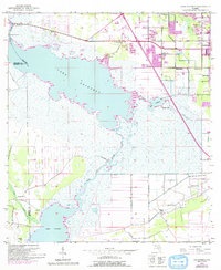
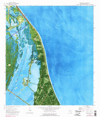
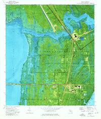
The Indian River Lagoon and the Intracoastal Waterway define this coastal stretch of Brevard County, where the Atlantic shoreline is protected by the Archie Carr National Wildlife Refuge. The landscape is a mosaic of maritime hammocks and developed coastal communities, including Malabar, Grant-Valkaria, and the northern edge of Micco. Aviation history and utility are centered at the Valkaria Airport, while local genealogy is rooted at the Fountainhead Memorial Park Cem.
Find a feature on this map
86 named features on this map. Tap any name to fly to it.
Don’t see what you’re looking for? This feature index may not catch every label — zoom into the map to look around manually.
Map Details
Editions of this 2024 Grant Map
This is the sole edition of this map. No revisions or reprints were ever made.
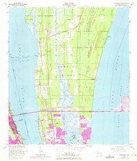
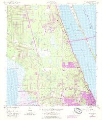
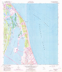
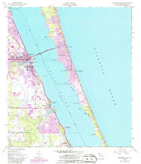
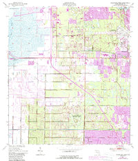
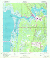
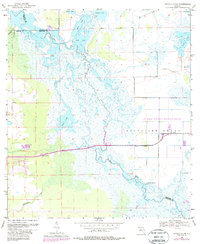
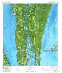
Historical Maps of Melbourne Shores Through Time
48 maps found
1949 Courtenay
Brevard County, FL
1949 Eau Gallie
Brevard County, FL
1949 False Cape
Brevard County, FL
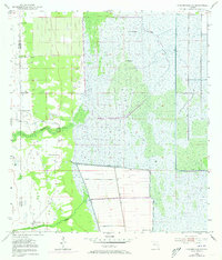
1949 Grant
Brevard County, FL
1949 Melbourne East
Brevard County, FL
1949 Melbourne West
Brevard County, FL
1949 Orsino
Brevard County, FL
1949 Sebastian NW
Brevard County, FL
1949 Tropic
Brevard County, FL
1949 Wilson
Brevard County, FL
1950 Aurantia
Brevard County, FL

1951 Courtenay
Brevard County, FL
1951 Eau Gallie
Brevard County, FL

1951 False Cape
Brevard County, FL

1951 Grant
Brevard County, FL

1951 Melbourne East
Brevard County, FL
1951 Melbourne West
Brevard County, FL

1951 Orsino
Brevard County, FL
1951 Sebastian NW
Brevard County, FL
1951 Tropic
Brevard County, FL
1952 Wilson
Brevard County, FL
1953 Deer Park NE
Brevard County, FL
1953 Deer Park SE
Brevard County, FL
1953 Fellsmere NW
Brevard County, FL
1953 Kenansville NE
Brevard County, FL
1953 Lake Poinsett
Brevard County, FL
1953 Titusville SW
Brevard County, FL
1976 Courtenay
Brevard County, FL
1976 False Cape
Brevard County, FL
1976 Orsino
Brevard County, FL
2024 Aurantia
Brevard County, FL
2024 Courtenay
Brevard County, FL
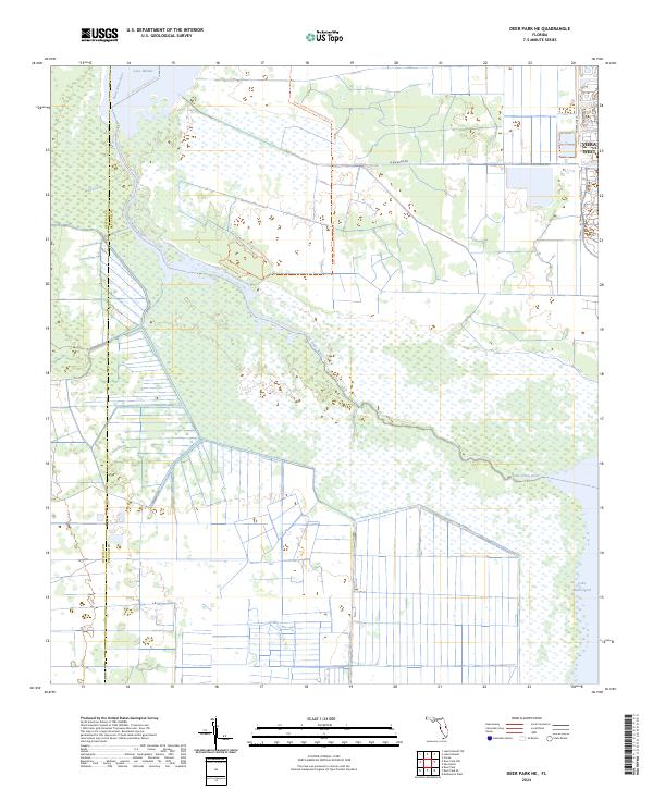
2024 Deer Park NE
Brevard County, FL
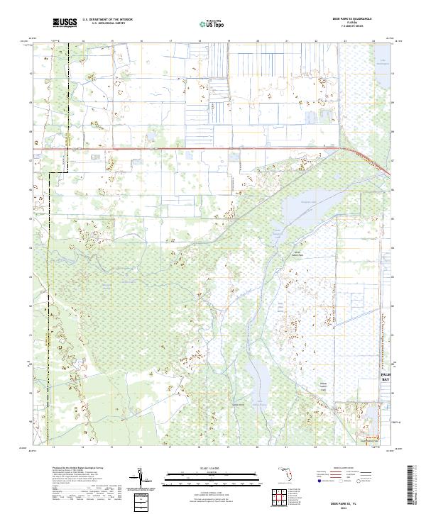
2024 Deer Park SE
Brevard County, FL
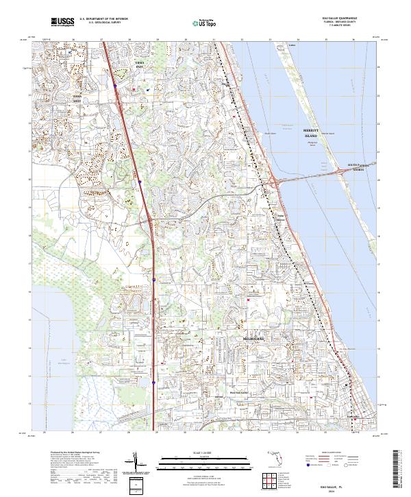
2024 Eau Gallie
Brevard County, FL
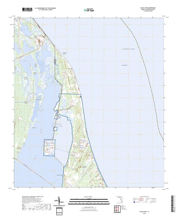
2024 False Cape
Brevard County, FL
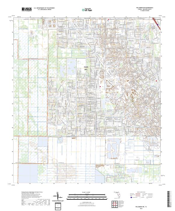
2024 Fellsmere NW
Brevard County, FL
2024 Grant
Brevard County, FL
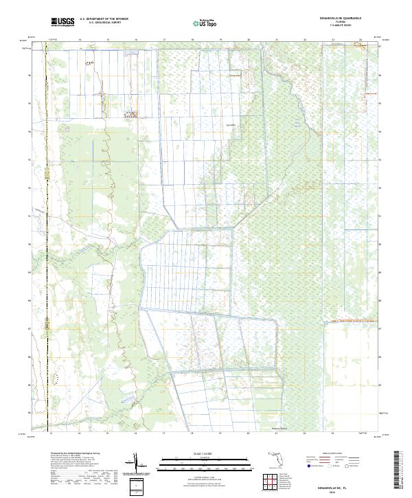
2024 Kenansville NE
Brevard County, FL
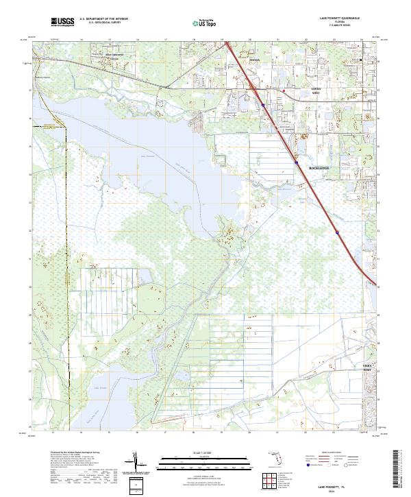
2024 Lake Poinsett
Brevard County, FL
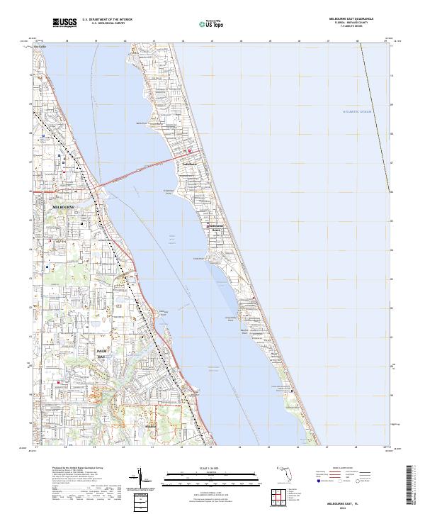
2024 Melbourne East
Brevard County, FL
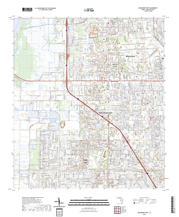
2024 Melbourne West
Brevard County, FL
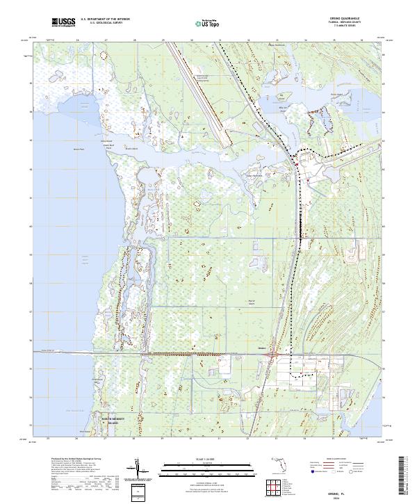
2024 Orsino
Brevard County, FL
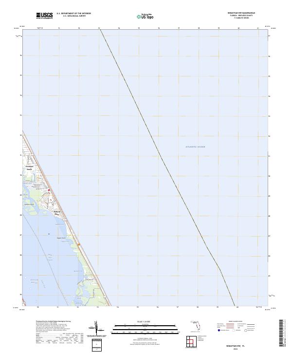
2024 Sebastian NW
Brevard County, FL
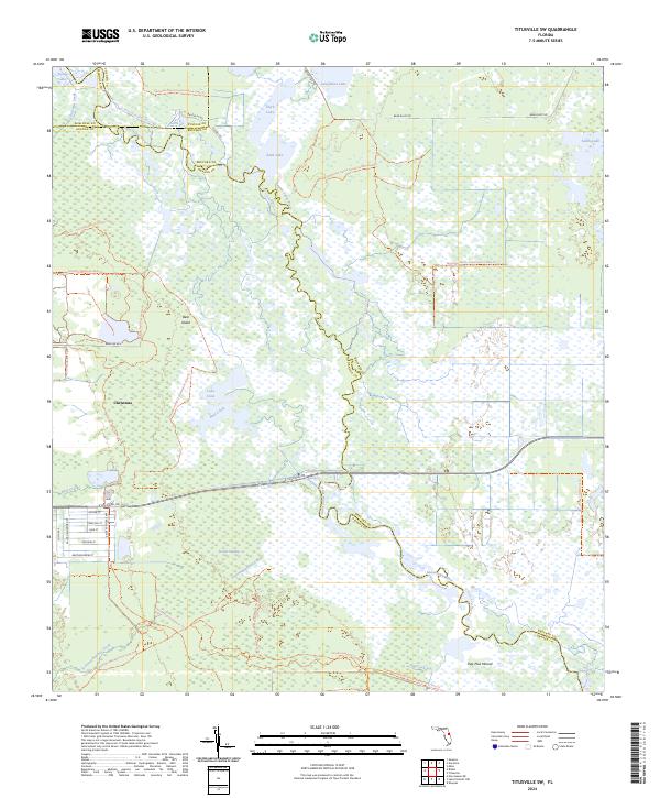
2024 Titusville SW
Brevard County, FL
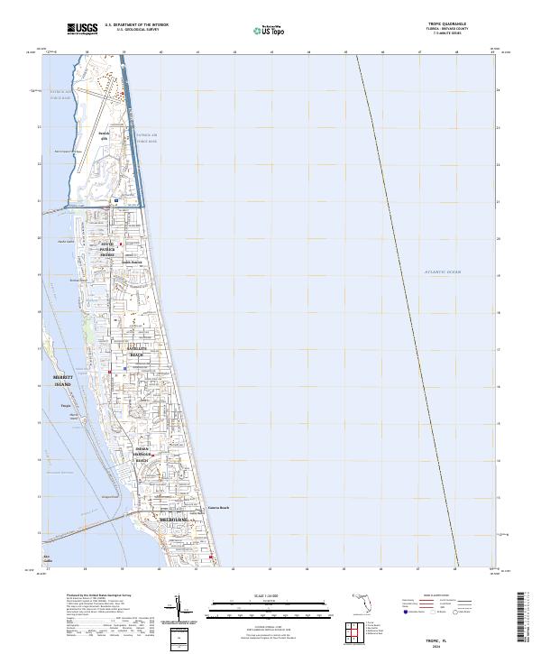
2024 Tropic
Brevard County, FL
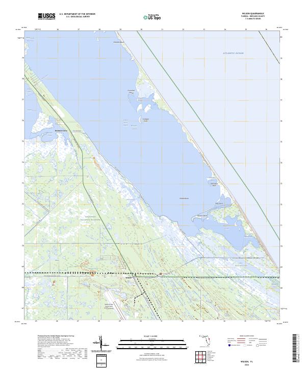
2024 Wilson
Brevard County, FL
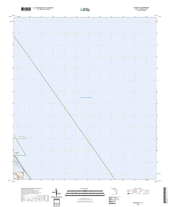
2024 Wilson OE E
Brevard County, FL