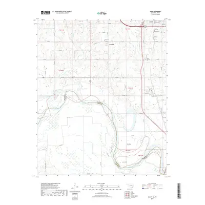
2018 Map of Grant
USGS Topo · Published 2018About this map
Hugo sits at the northern edge of this Choctaw County survey, where the Jake Pulliam Byp and Bus 271 connect the town to the rural landscape southward. The area is defined by the winding course of the Red River, which forms the boundary between Oklahoma and Texas. The river's influence is evident in the complex hydrological network of Muddy Boggy Creek, Boggy Cutoff, and Hanubby Creek, alongside landforms like Pitts Bend and Allen Island.
Find a feature on this map
67 named features on this map. Tap any name to fly to it.
Don’t see what you’re looking for? This feature index may not catch every label — zoom into the map to look around manually.
Map Details
Editions of this 2018 Grant Map
This is the sole edition of this map. No revisions or reprints were ever made.
Other maps of this area
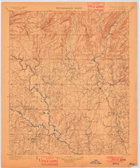
1901 · Antlers
USGS Topo · 1:125,000
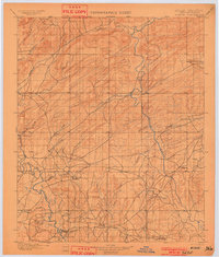
1901 · Alikchi
USGS Topo · 1:125,000
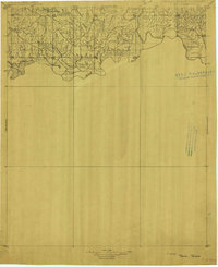
1903 · Paris
USGS Topo · 1:125,000
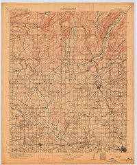
1912 · Antlers
USGS Topo · 1:125,000
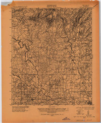
1925 · Antlers
USGS Topo · 1:125,000
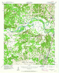
1948 · Grant
USGS Topo · 1:62,500
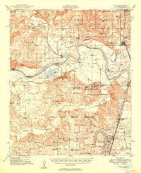
1949 · Grant
USGS Topo · 1:62,500
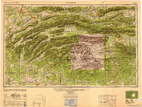
1950 · Mcalester
USGS Topo · 1:250,000
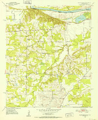
1951 · Slate Shoals
USGS Topo · 1:24,000
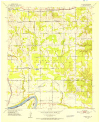
1951 · Shoals
USGS Topo · 1:24,000