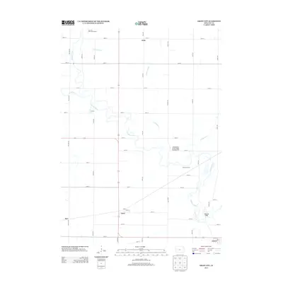
2013 Map of Grant City
USGS Topo · Published 2013About this map
The N Raccoon River carves a winding path through this corner of Sac County, defining a landscape shaped by both natural waterways and a precision network of agricultural engineering. Small rural settlements like Ulmer, Pettis, and Fletcher anchor the surveyed grid of section roads, illustrating the persistent 19th-century township structure into the modern era. The presence of Drainage Ditch 73 and Drainage Ditch 25 underscores the intensive land management required to maintain the region's productive farmlands. Near the river's bends, the Whitehorse Access Public Hunting Area and Whitehorse Access provide pockets of conservation amidst the surrounding fields. To the north, the Sac City Municipal Airport marks a point of modern infrastructure, while the southeastern corner touches the edge of Auburn. This survey captures a rural Iowa landscape where quiet crossroads like Hart and the small cluster at Grant City remain as evidence of the area's early community centers.
Find a feature on this map
40 named features on this map. Tap any name to fly to it.
Don’t see what you’re looking for? This feature index may not catch every label — zoom into the map to look around manually.
Map Details
Editions of this 2013 Grant City Map
This is the sole edition of this map. No revisions or reprints were ever made.
Other maps of this area

1954 · Fort Dodge
USGS Topo · 1:250,000

1957 · Fort Dodge
USGS Topo · 1:250,000

1958 · Fort Dodge
USGS Topo · 1:250,000

1980 · Lytton
USGS Topo · 1:24,000

1980 · Sac City East
USGS Topo · 1:24,000

1980 · Breda
USGS Topo · 1:24,000

1980 · Grant City
USGS Topo · 1:24,000

1980 · Carroll NE
USGS Topo · 1:24,000

1980 · Yetter
USGS Topo · 1:24,000

1980 · Lake View
USGS Topo · 1:24,000