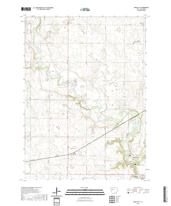
2022 Map of Grant City
USGS Topo · Published 2022About this map
The North Raccoon River carves a winding path through this corner of Sac County, defining the agricultural landscape between Ulmer and Grant City. The terrain is heavily modified for farming, evidenced by an extensive network of managed waterways including Drainage Ditch 73, Drainage Ditch 25, and Drainage Ditch 31. These features, alongside Indian Creek, reflect the long-standing effort to harness the Iowa prairie for cultivation.
Find a feature on this map
41 named features on this map. Tap any name to fly to it.
Don’t see what you’re looking for? This feature index may not catch every label — zoom into the map to look around manually.
Map Details
Editions of this 2022 Grant City Map
This is the sole edition of this map. No revisions or reprints were ever made.
Other maps of this area

1954 · Fort Dodge
USGS Topo · 1:250,000

1957 · Fort Dodge
USGS Topo · 1:250,000

1958 · Fort Dodge
USGS Topo · 1:250,000

1980 · Lytton
USGS Topo · 1:24,000

1980 · Sac City East
USGS Topo · 1:24,000

1980 · Breda
USGS Topo · 1:24,000

1980 · Grant City
USGS Topo · 1:24,000

1980 · Carroll NE
USGS Topo · 1:24,000

1980 · Yetter
USGS Topo · 1:24,000

1980 · Lake View
USGS Topo · 1:24,000