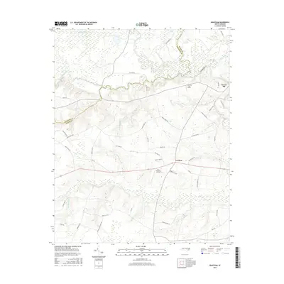
2016 Map of Grantham
USGS Topo · Published 2016About this map
The Neuse River winds across the northern reaches of this coastal plain landscape, where the boundary between Johnston Co and Wayne Co follows the erratic path of its tributaries. The settlement of Grantham serves as a central hub for the surrounding agricultural community, flanked by small aviation sites like the Cox-Grantham Airfield and Scottbrook Farm Airport. The map reveals a high density of family-named roads and landmarks, such as Stevens Church Rd and Selah Church Rd, indicating a deeply rooted local history tied to these rural crossroads.
Find a feature on this map
46 named features on this map. Tap any name to fly to it.
Don’t see what you’re looking for? This feature index may not catch every label — zoom into the map to look around manually.
Map Details
Editions of this 2016 Grantham Map
This is the sole edition of this map. No revisions or reprints were ever made.
Other maps of this area
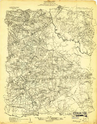
1906 · Four Oaks
USGS Topo · 1:48,000
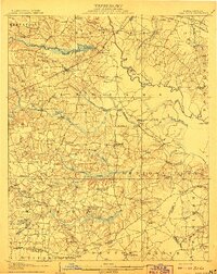
1908 · Four Oaks
USGS Topo · 1:62,500
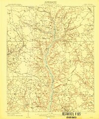
1909 · Coharie
USGS Topo · 1:62,500
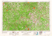
1953 · Raleigh
USGS Topo · 1:250,000
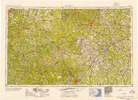
1954 · Raleigh
USGS Topo · 1:250,000
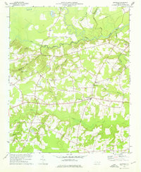
1974 · Grantham
USGS Topo · 1:24,000
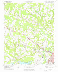
1974 · Northwest Goldsboro
USGS Topo · 1:24,000
1974 · Princeton
USGS Topo · 1:24,000
1974 · Southwest Goldsboro
USGS Topo · 1:24,000
1977 · Mount Olive
USGS Topo · 1:24,000